New York
Trails:
Old Mill Trail: Blue blaze
Kakiat Trail: White blaze
Mountain Trail: Orange blaze
Total Time: 1:00 hr
Estimated Distance: 1.75 Miles
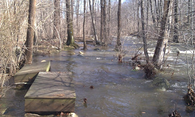
There had been an enormous rainstorm on Sunday with about 5 inches rain within a 24 hour period. The day after this storm there was flooding all over the area, so I figured this would be a good day to hike at Kakiat which is prone to flooding to observe this. Since it was a weekday (I had not been able to hike on Sunday because of the rain), I had to keep this hike short.
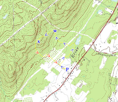
Started at the Kakiat parking area, crossed the bridge at the raging Mahwah River, and took the partially flooded-out Old Mill Trail for its length until the Kakiat Trail. I had to hike on rocks and detours to avoid the flooded and washed out portions. Took the Kakiat Trail slightly up the mountain, and veered off to the Kakiat waterfalls, which were falling strong. From there I bushwacked up along the side of the mountain to the lower Kakiat viewpoint, and then hiked down the Mountain Trail back to the parking area.
These pictures were taken with my cell phone camera since I didn't have my regular camera with me.
 |
| Map of the route. |
 |
| Entrance and bridge with overflowing Mahwah River. |
 |
| The flooded picnic area. Not a good day to have a picnic. |
 |
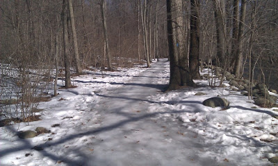
| Still a little bit of snow left on the Blue Mill Trail. |
 |
| Walking along the Old Mill Trail. I have never seen the river overflow this much. Notice how the force of the water pushed aside the small bridges. |
 |
| The Kakiat waterfall. |
 |
| The uppermost Kakiat waterfall. |
 |
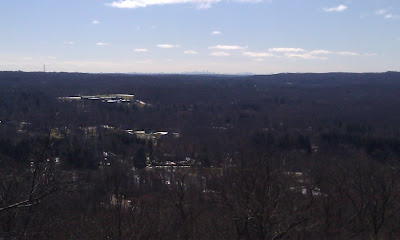
| View from the lower Kakiat viewpoint off the Mountain Trail |
 |
| Manhattan Skyline visible in the distance from the lower Kakiat viewpoint. |
No comments:
Post a Comment