New York
Hiking Trails:
Dickey Brook Trail: Yellow blaze
Yin Trail/Yang Trail: Green blaze
Limbo Trail: Red blaze
Blue Mountain Trail: Blue blaze
Blue Mountain Summit Trail: Blue blaze
Briarcliff-Peekskill Trailway: Green blaze
Sitting Duck Trail: Green blaze
Spitzenberg Climb Trail: Unblazed
Rocky Glen Trail: White blaze
Total Time: 1:10 hour
Estimated Distance: 2.3 Miles
Pros: Many trails in small area
Cons: Views are not so impressive, trail maps are very confusing
This was my first time at Blue Mountain Reservation. I have heard of the area for a long time, and that it's mainly a biking area, but never visited it previously. It's close by and in familiar territory, so I am glad to have finally visit it.
This area is very famous among mountain bikers. They are many rugged single and double track trails throughout the park, and this can make hiking difficult with all the bikers. Hikers are advised use the main double track trails otherwise its uncomfortable to keep on avoiding and moving aside for quick bikers. However, I was here in the winter, with very muddy and wet trails, and I didn't see any bikers! Not a single one during the entire hike! I also didn't see that many hikers either, despite it being a seasonably-cold-but not-too-chilly weekend day.
My main issue with the area is that the maps are very innacurate. The trails are different than the maps with extra bends and intersections. I actually used Maprika with a digital map and was surprised how many inconsitencies there were! Nevertheless I was still easily able to follow the route without a problem.
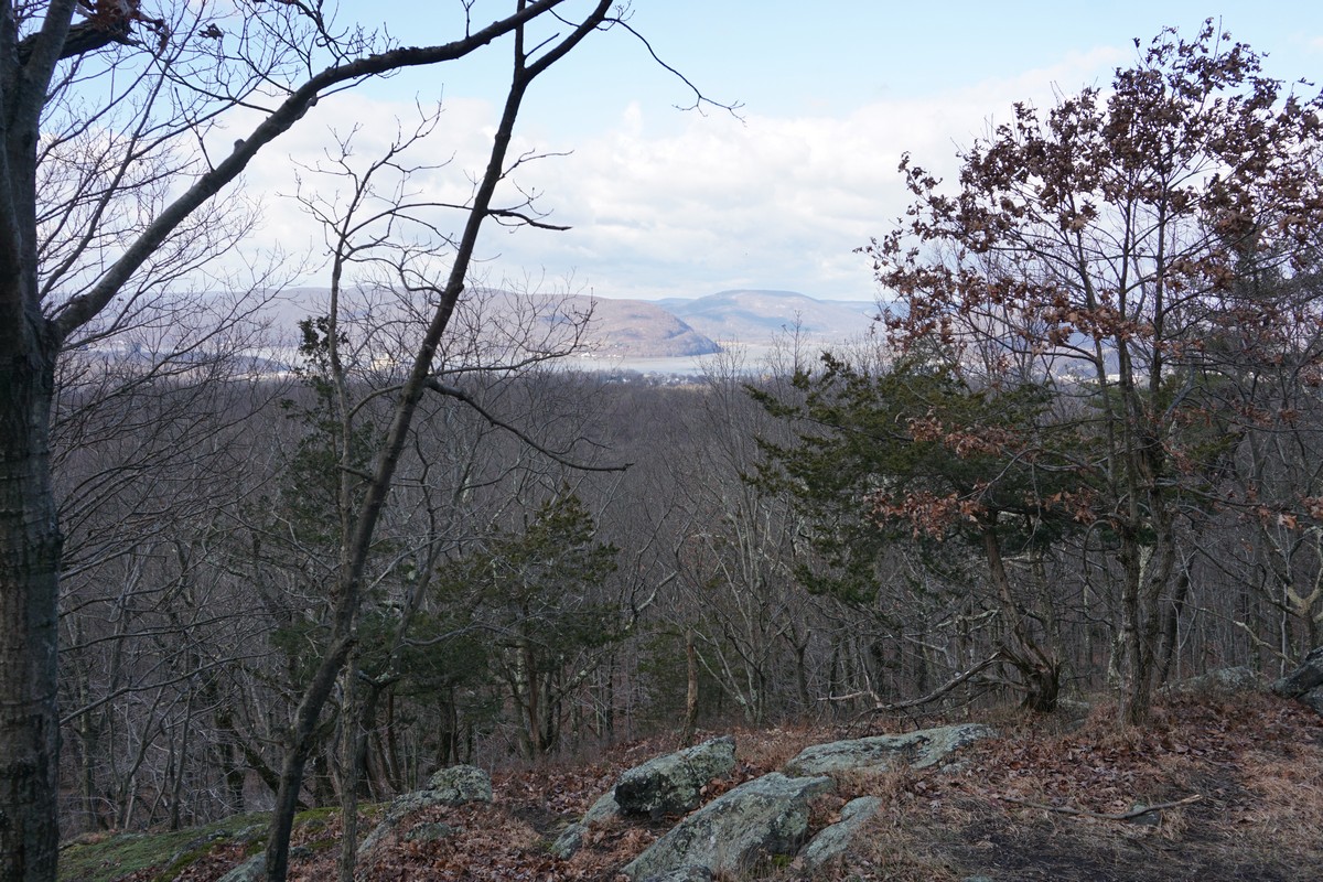
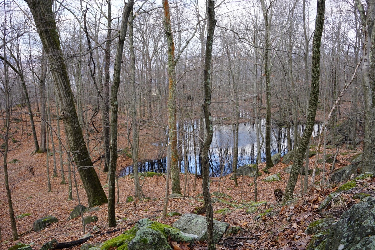
I parked in the main parking area by Lounsbury Pond, and took the Dickey Brook Trail for a short distance to the Yin Trail. At some point I unknowingly crossed over on an unmarked trail to the parallel Yang Trail, which I took the Limbo Trail. I took this to the Blue Mountain Trail, which is a hiking-only trail up to the summit of Blue Mountain. There is a view facing west near the summit, but it has too much growth and was slightly disappointing. Near the top there is also an abandoned ruin, and the trail routes right through a seasonal pond, which I had to go around.
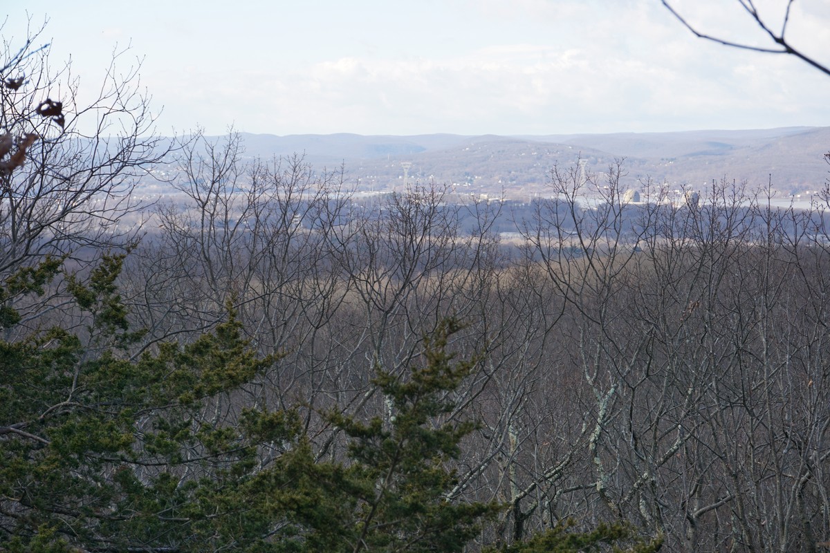
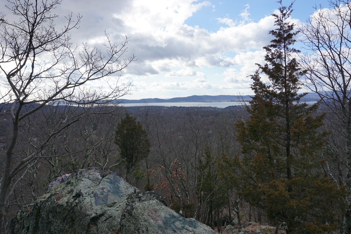
After looping around the summit of Blue Mountain, I went back down on the same trail to the Blue Mountain Summit Trail, heading south to the Briarcliff-Peekskill Trailway, and then the Sitting Duck Trail, which I then took to the very short Spitzenberg Climb Trail, which takes you to the rocky summit of Mt. Spitzenberg. This mountain has a better view than Blue Mountain, and faces southwest. There is also a ruin on top of this mountain. The view here can use some trimming as well as it is beginning to get overgrown.
I then turned back down the Spitzenberg Climb Trail, went back to the Briarcliff-Peekskill Trailway, and then took the Rocky Glen Trail, past the pond, to the parking area. It started raining along the way, with the rain mixing with sleet in a heavy squall.
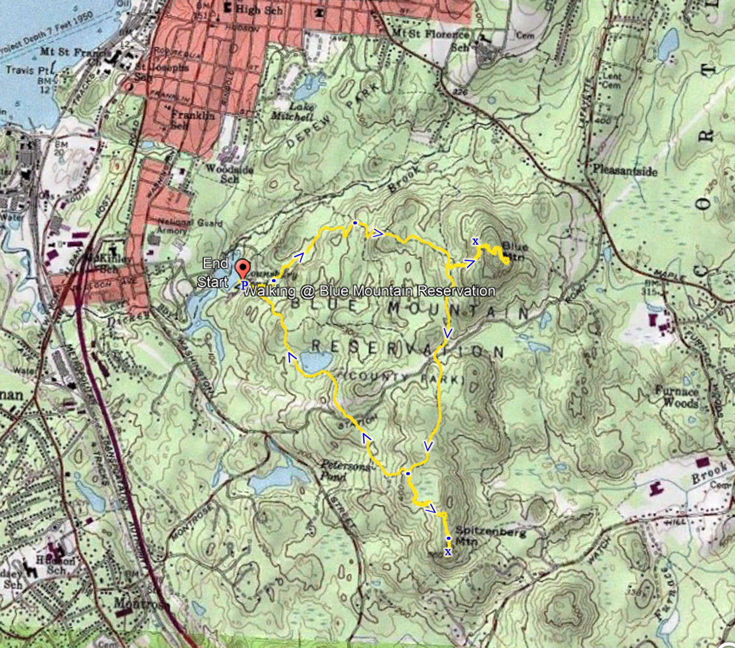 |
| Map of the Route |
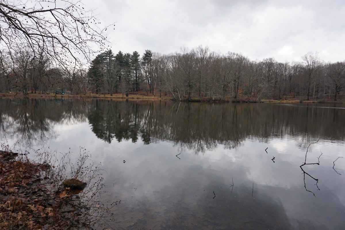 |
| Lounsbury Pond at the Beginning of the Pond |
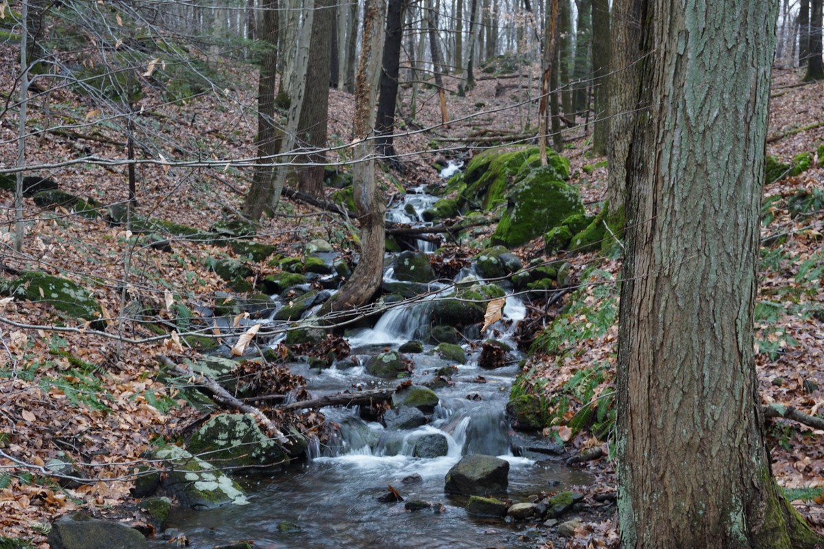 |
| Small Cascade on the Dickey Brook Trail |
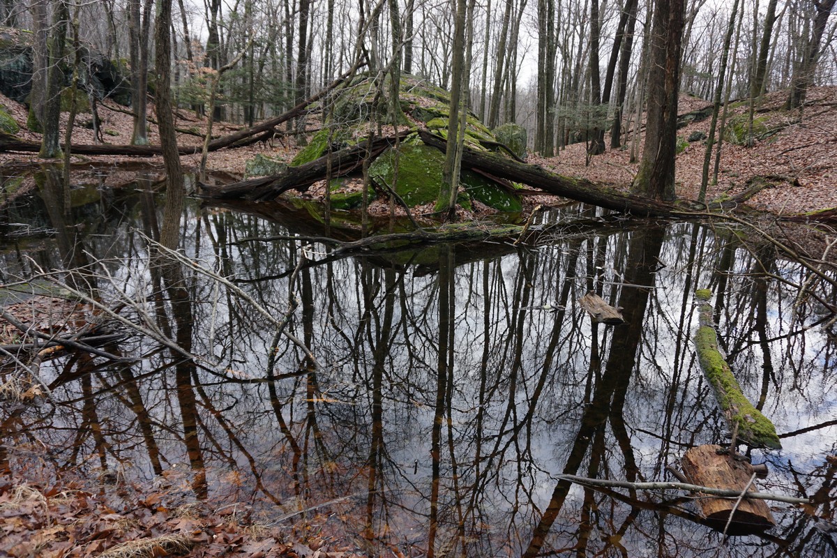 |
| Seasonal Overflow Pond along the Dickey Trail |
 |
| View from Blue Mountain, Facing Bear Mountain and Dunderberg Mountain |
 |
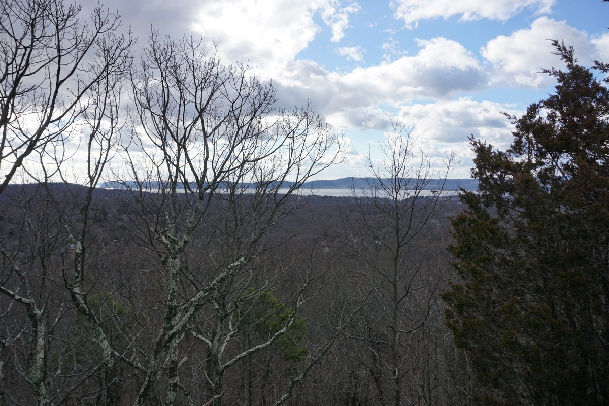
| Another View from the Blue Mountain Viewpoint |
 |
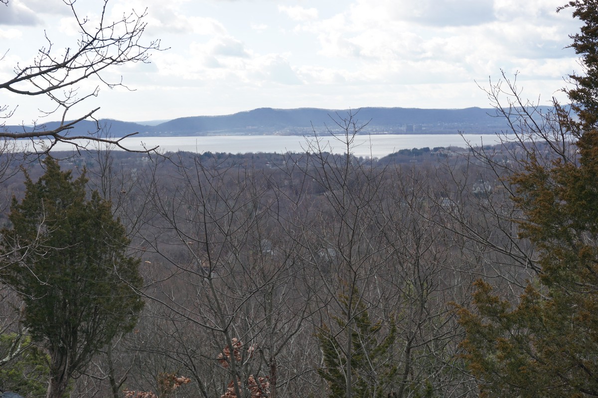
| View from Blue Mountain, Facing Southwest towards Indian Point |
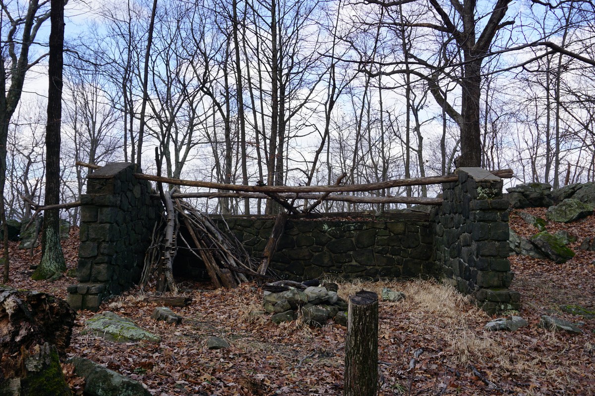 |
| Ruin on the top of Blue Mountain |
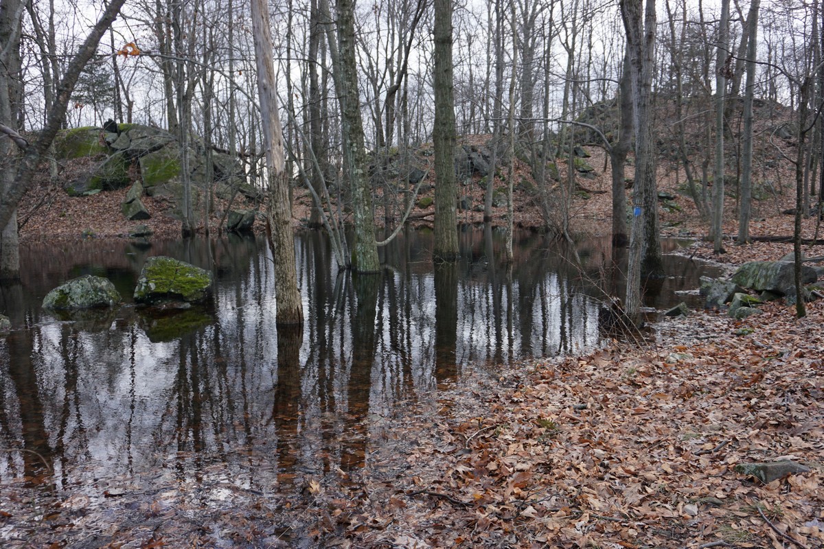 |
| Overflowing Seasonal Pond where the Trail Goes on Blue Mountain Summit |
 |
| At the Very top of Blue Mountain |
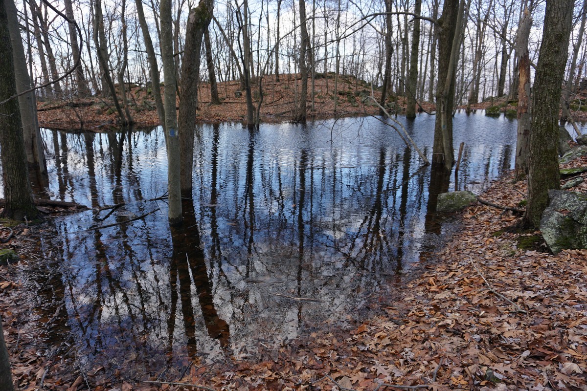 |
| Another view of the Seasonal Pond on Blue Mountain, with the Trail Marker |
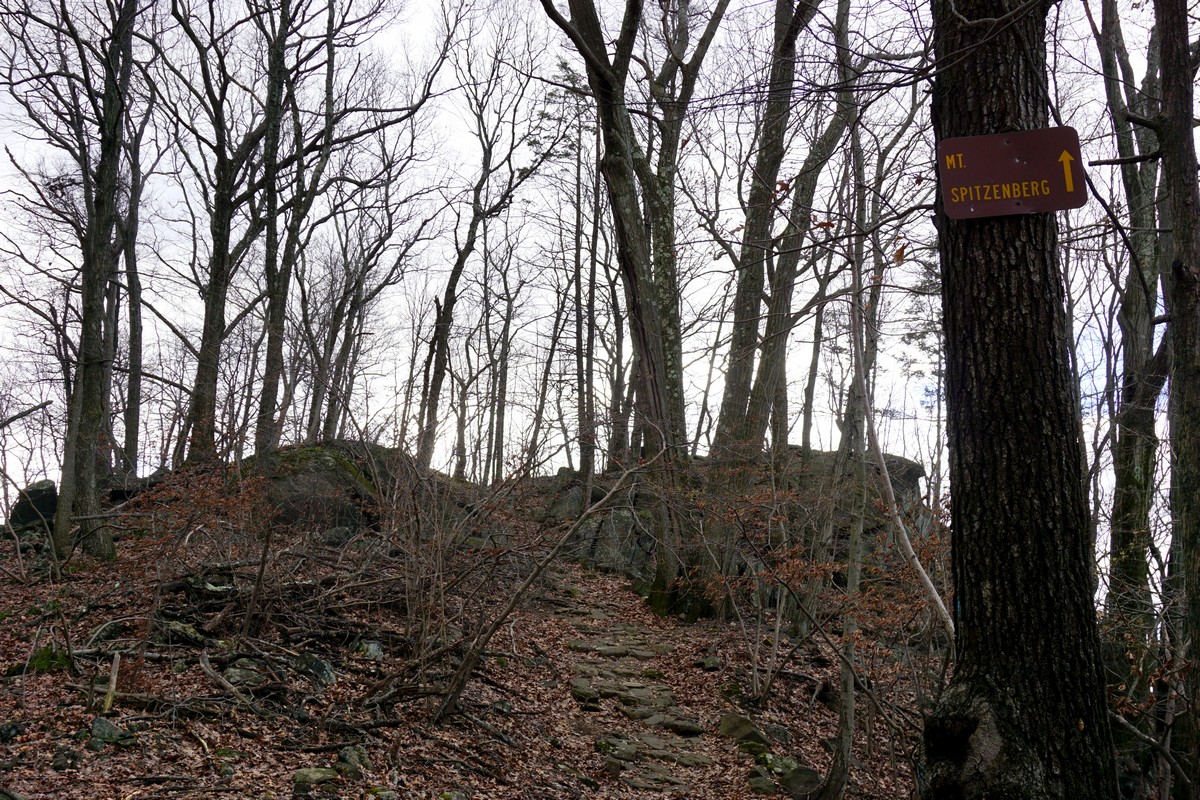 |
| Path to Mt. Spitzenberg |
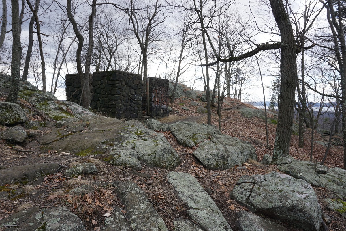 |
| Abandoned Ruin on top of Mt. Spitzenberg |
 |
| View from Mt. Spitzenberg, Facing Southwest towards Hi-Tor |
 |
| Another Angle of the Above View |
 |
| View from Mt. Spitzenberg, Zoomed Out |
 |
| Zoomed in Towards the Hudson River and Hi Tor |
 |
| Selfie on Mt. Spitzenberg |
 |
| Strange "Skull Rock" at the beginning of the Rocky Glen Trail |
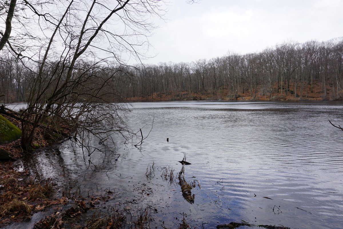 |
| Pond along the Rocky Glen Trail, with Rain Drops during the Squall |
No comments:
Post a Comment