Hudson Highlands State Park
Putnam Co.
New York
Hiking Trails:
Sugarloaf Trail: Red blaze
Total Time: 1:40 hour
Estimated Distance: 2.9 Miles
Pros: Scenic area with good view, nice climb
Cons: None
Hike Type: Out and back
Level of Difficulty: Slightly difficult
Google Maps of Parking:
https://maps.app.goo.gl/PtrGZwiR3vY1kKNY9
Hiking Partner:
Yehudah Koblick
It had been a while since I had been at Sugarloaf and the Hudson Highlands in general, so figured this was a good opportunity for a nice spring day. We parked at the Sugarloaf Trailhead and took the the trail up the mountain. The trail is a dead end and ends at the view facing Bear Mountain Bridge with a large beavertail cactus grove. At the top at the end of the trail we turned around and went back down the same route that we came up.
 |
| Map of the Route |
 |
| Sugarload Trail Trailhead |
 |
| Castle Rock |
 |
| View on the Ascent |
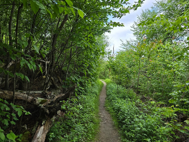 |
| Sugarloaf Trail |
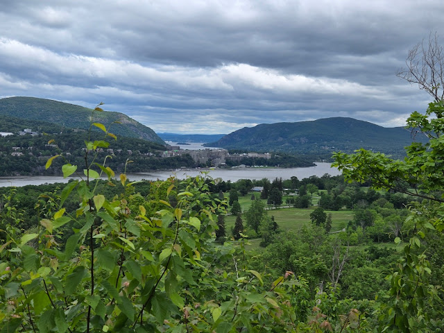 |
| View of West Point |
 |
| Small Marsh While Ascending |
 |
| View of the Hudson River and Bear Mountain Bridge from Sugarloaf |
 |
| Cactus Grove on Sugarloaf |
 |
| Sugarloaf Mountain View |
 |
| View of West Point on the Descent |


No comments:
Post a Comment