Harriman State Park
Rockland Co.,
New York
Hiking Trails:
Tuxedo-Mt Ivy Trail: Red blaze
Limekiln Mountain Trail: Unblazed (with unofficial yellow markings)
Total Time: 0:45 hours
Estimated Distance: 1.6 miles
Pros: Good climb with excellent views
Cons: Power Lines
Hike Type: Up and out
Level of Difficulty: Slightly Difficult
Google Maps of Parking:
https://goo.gl/maps/UsP2yvyYx3Jc94fG6
Limekiln mountain is a great, short climb. Its basically climbing up the mountain to a great view and then coming back down in under an hour. The challenge is that the trail up is unofficial and not blazed. I parked at the Tuxedo-Mt Ivy Trailhead, and walked along the power lines on the trail. Upon entering the woods, I took the Limekiln Mountain Trail up to the top of the mountain to the expansive view. I then turned around around and take to the same route back, with a slight detour on the path on the western side of the power lines.
 |
| Map of the Route |
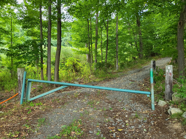 |
| Start of the Trail |
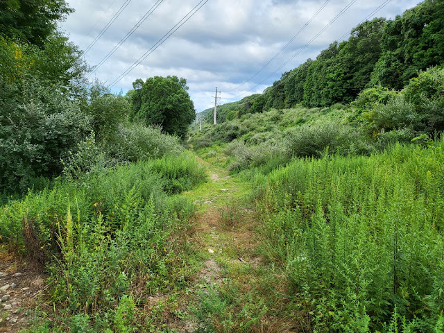 |
| Power Lines on the Trail |
 |
| Start of the Limekiln Mountain Trailhead |
 |
| Veer off from the Limekiln Trail. Follow the Yellow Arrows. |
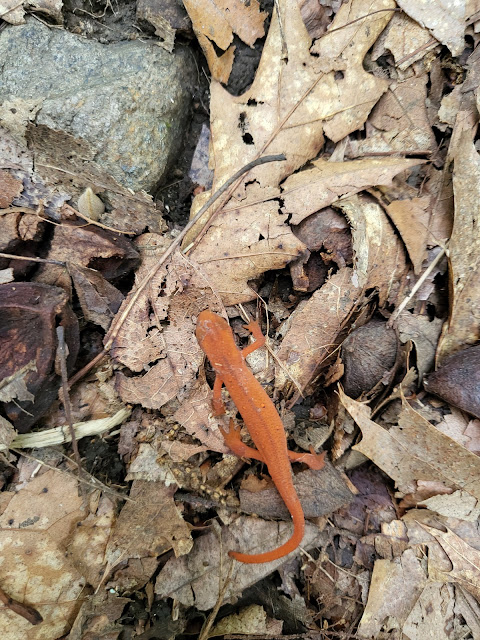 |
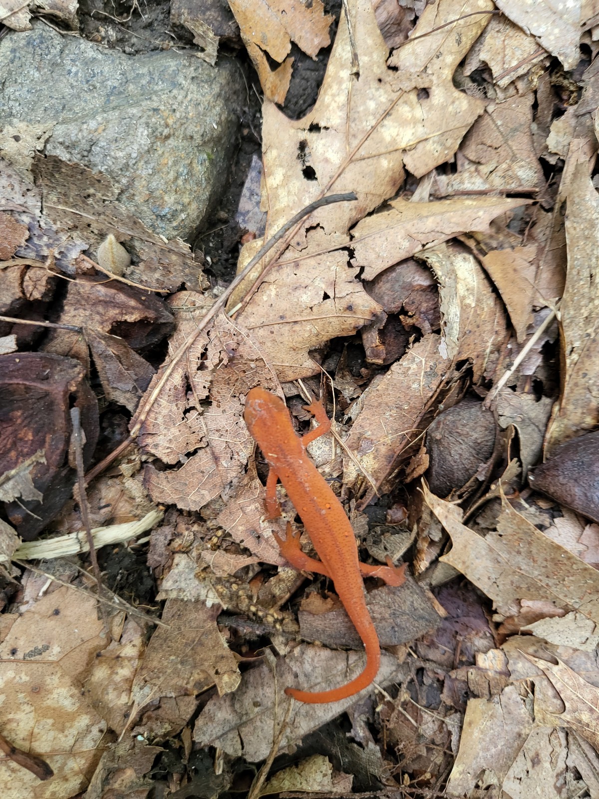
| Red Eft Salamander |
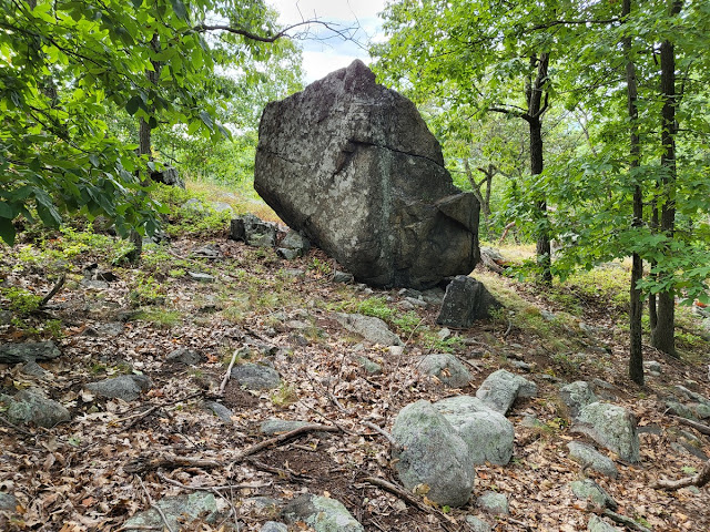 |
| Balanced Glacial Rock |
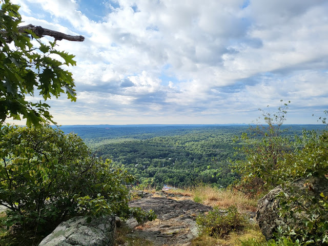 |
| View from the Top |


No comments:
Post a Comment