Storm King State Park
Orange Co.,
New York
Hiking Trails:
Butter Hill Trail: Orange blaze
Stillman Trail / Highlands Trail: Yellow / Blue blaze
White Trail: White blaze
Total Time: 2:05 hour
Estimated Distance: 2.3 Miles
Pros: Good climb, amazing views
Cons: None
Hike Type: Back and out
Level of Difficulty: Very difficult in snow conditions
Google Maps of Parking:
https://goo.gl/maps/muYUeDq3wg9PGLMP9
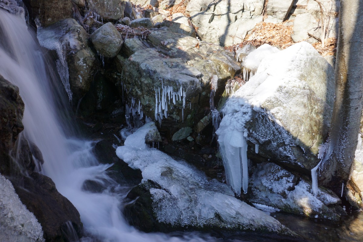
A large Nor'easter storm affected the region on Friday. It fell as rain in the region, but further upstate it fell as snow. I had driven north through Harriman, where there was no snow, and as I drove up Route 9W, the snow covered the area at about the 800 foot level. I parked at the Butter Hill parking area, and started the hike at the Butter Hill Trail trailhead. There was about 5 inches of snow on the ground.
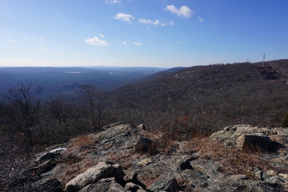
At the notch between Butter Hill and the Western Ridge of Storm King, I cut across to the combined Stillman Trail and Highlands Trail which goes along the Western Ridge of Storm King, with great views on both sides of the mountain. I took the trail to the White blaze, a short spur to the northern lookout, and then turned back at the end and continued along the combined Stillman Trail and Highlands Trail. I took the trail down to Mountain Road, and then turned around and then went back up the combined Stillman Trail and Highlands Trail. I cut across up the hill to the White Trail and then back to the Stillman / Highlands Trail, which I took back to the notch and then took the Butter Hill Trail back to the trailhead.
 |
| Map of the Route |
 |
| View of Butter Hill from the Parking Trailhead |
 |
| Parking Trailhead |
 |
| Butter Hill Trail |
 |
| Stillman / Highlands Trail Views |