Catskill Forest Preserve,
Greene Co.,
New York
Hiking Trails:
Escarpment Trail: Blue blaze
Horse Trail: Yellow blaze
Long Path: Green blaze
Schutt Road Trail: Red blaze
Kaaterskill Falls Trail: Yellow blaze
Total Time: 2:45 hours
Estimated Distance: 5.2 Miles
Pros: Amazing views, scenic waterfall
Cons: Area can get busy
Hike Type: Loop
Level of Difficulty: Moderate
Google Maps of Parking:
https://goo.gl/maps/A9f7Mwh2s7MKp7eY9
I was off for Thanksgiving, and decided to visit this hike which I had not been to in a long time. Further, I had never yet hiked the new connecting trail from the top of Kaaterskill falls to the bottom. I decided to take my time off in the morning and early afternoon to do a bit of a travel to one of the most scenic areas in the Catskills, Kaaterskill Clove and the Escarpment.
It was a beautiful late fall day. Even high up in the Catskills it was probably 50 degrees and sunny with little wind. (Though it was much colder in the shady areas and later in the day.) I parked at the new parking area at the end of Laurel House Road, and took the Yellow Trail down to the bridge crossing Spruce Creek, to to Escarpment Trail. I was surprised how busy this area was during this time of the year and on the actual Holiday. However, once I passed the falls area, I hardly saw anyone else and it was very quiet. Apparently all the foot traffic was to visit the falls.
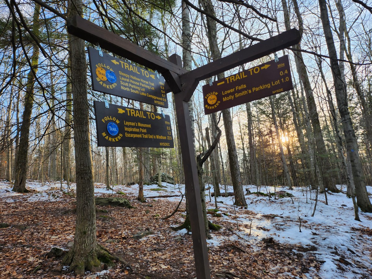
I took the Escarpment Trail to the Layman Monument, and then went above the escarpment line passing several great views along the way. I passed the Yellow connection trail, and then passed Sunset Rock and Inspiration Point. The Trail then joined with the Horse Trail and then the Long Path, which I then took the Schutt Road Trail. I took the Schutt Road Trail back to the Escarpment Trail, which I then took briefly along the same route before, to the Kaaterskill Falls Trail.
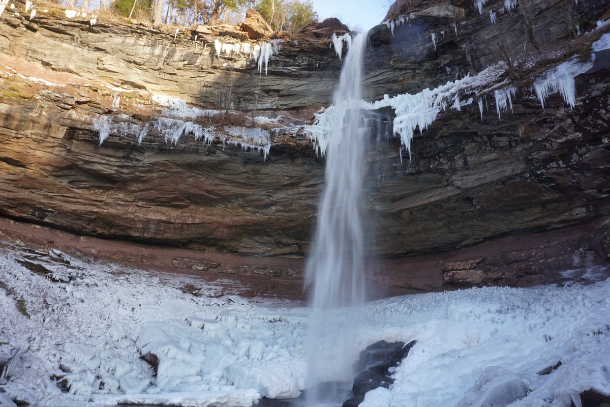
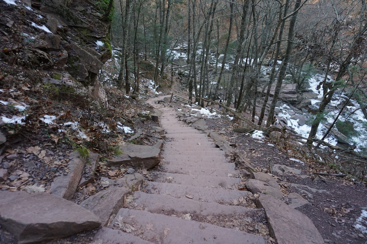
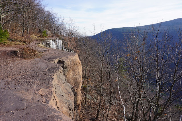
I took the Kaaterskill Falls Trail trail down, then passing the new steps, and went to the upper and lower falls. I couldn't get too close as it was icy and slippery. I got to the pleasure to meet a fellow hiker from my area at the falls, Yoely Goldstein, and he added me to his hiking group chat. (See the last picture below.) I then turned around and went back along the Kaaterskill Falls Trail, back up, to the Escarpment Trail and the Yellow Trail and then back to my car.
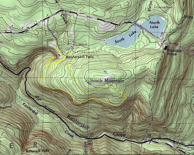 |
| Map of the Route |
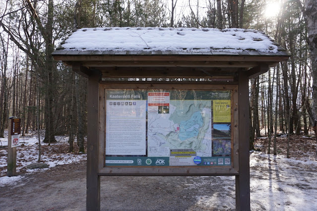 |
| Kiosk at the Laurel House Road Parking Area Above the Falls. (Note the Snow.) |
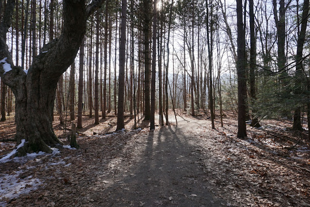 |
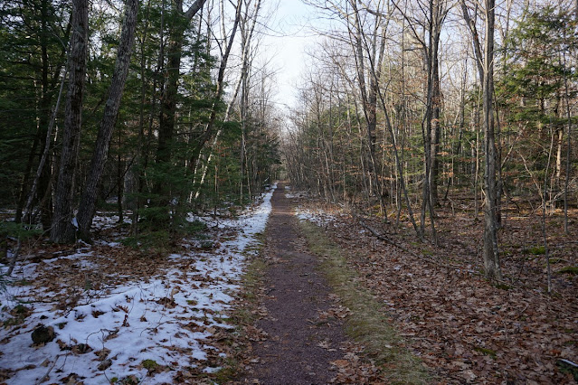
| Beginning of the Hike |
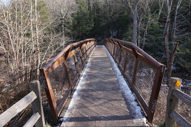 |
| Bridge Over Spruce Creek Above the Falls |
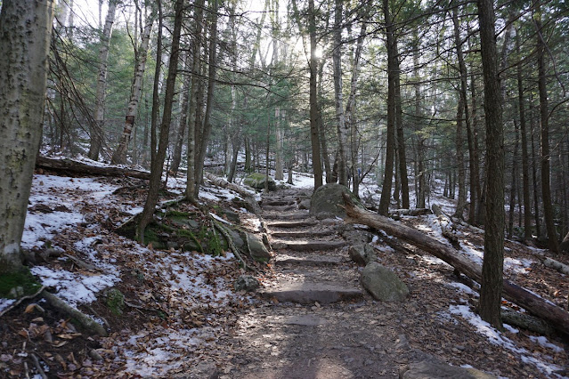 |
| Escarpment Trail |
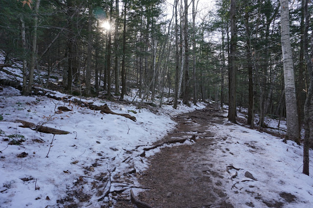 |
| Snow at the Escarpment Trail |
 |
| Escarpment Trail and Kaaterskill Falls Intersection |
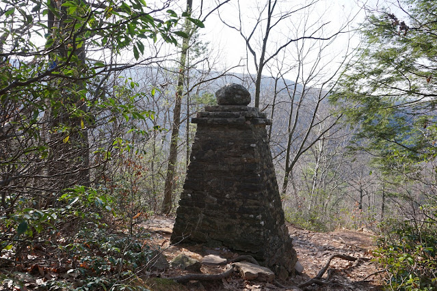 |
| Layman Monument |
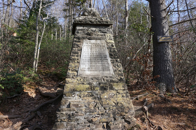 |
| Layman Monument |
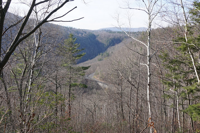 |
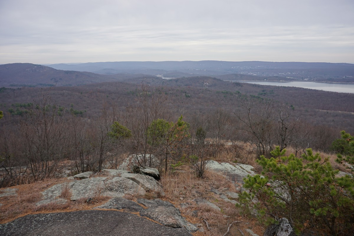
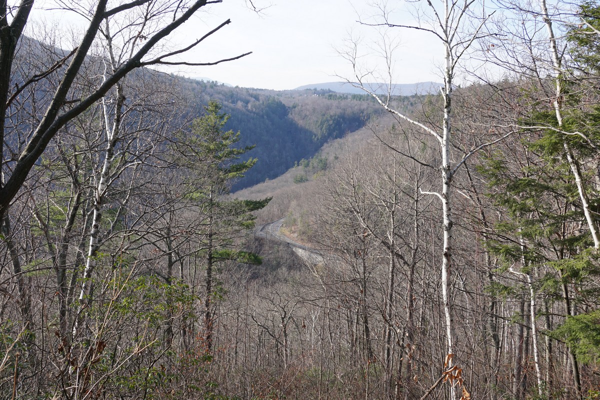
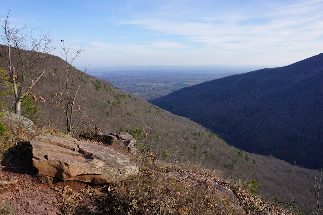
| View of the End of the Kaaterskill Clove from Layman Monument |
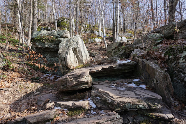 |
| Escarpment Trail |
 |
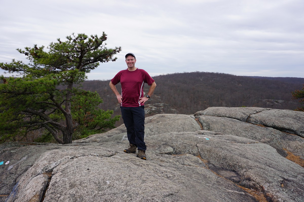
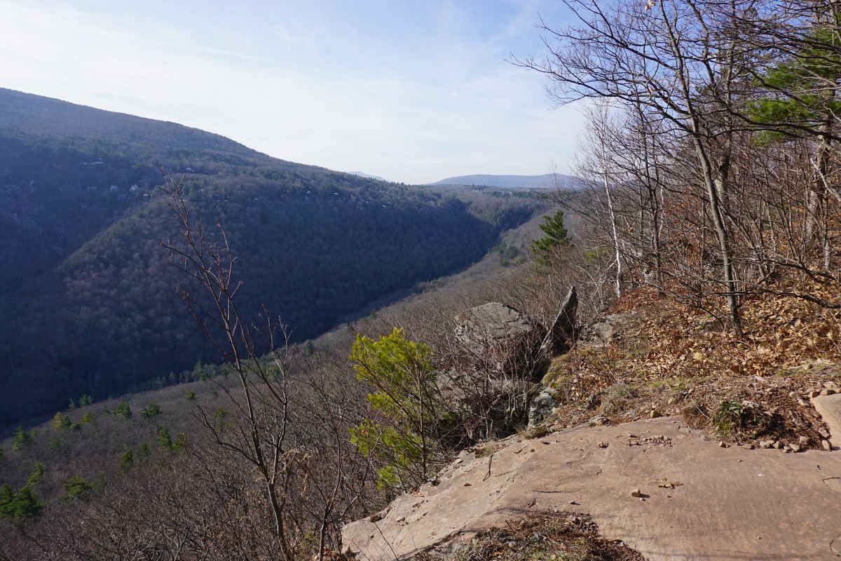
| Sunset Rock |
 |
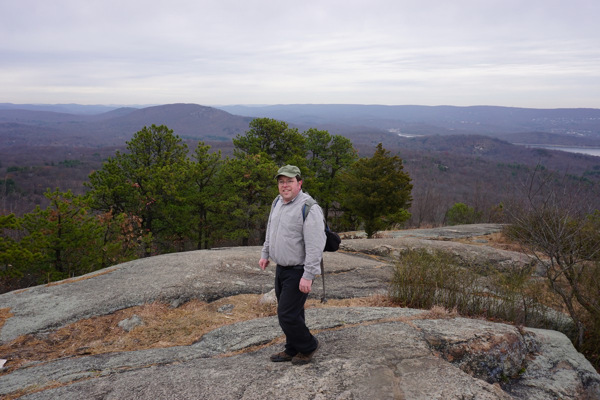
| Inspiration Point |
 |
| Schutt Road Trail |
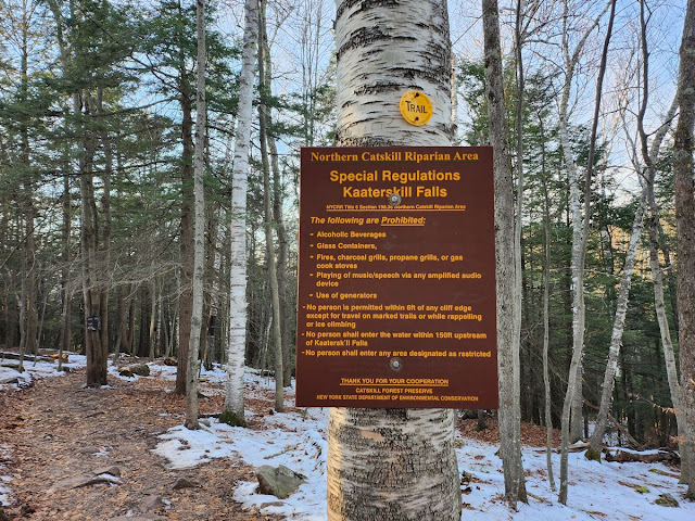 |
| Special Regulations Poster Above the Falls |
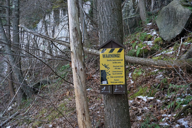 |
| Warning Sign Poster Above the Falls |
 |
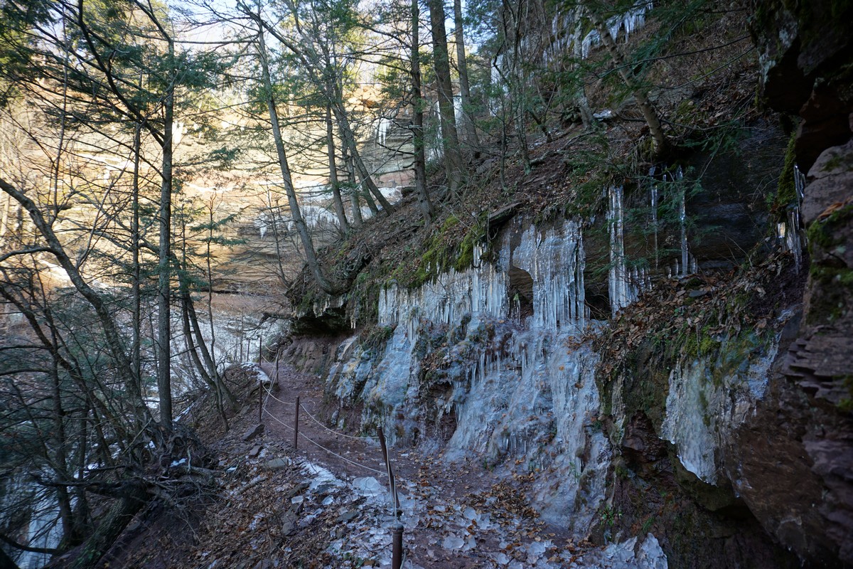
| Icy Area Above the Falls |
 |
| Upper Falls at Kaaterskill Falls |
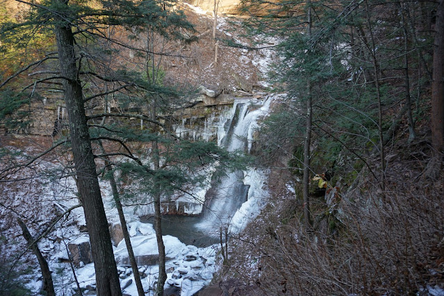 |
| Lower Falls at Kaaterskill Falls |
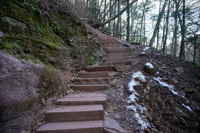 |
| Kaaterskill Falls Trail Steps |
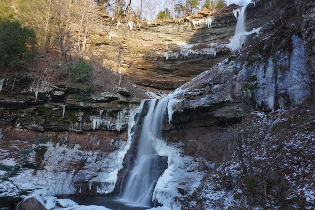 |
| Lower Falls at Kaaterskill Falls |
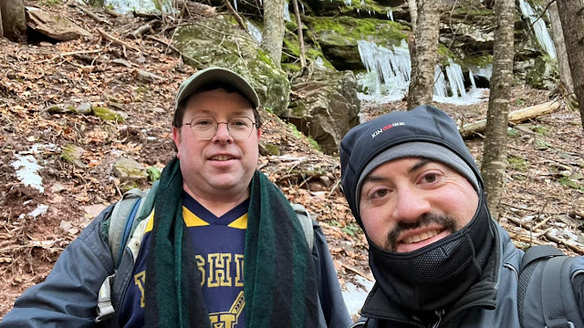 |
| Me and Yoely Goldstein |