Norvin Green State Forest
Passaic Co.,
New Jersey
Hiking Trails:
Wyanokie Crest Trail: Yellow blaze
Hewitt-Butler Trail: Blue blaze
Highlands Trail: Blue blaze
Posts Brook Trail: White blaze
Chikahoki Fire Road: Unblazed
Total Time: 1:45 hour
Estimated Distance: 3.1 Miles
Pros: Scenic falls
Cons: Area Flooded and hard brook crossing
Hike Type: Loop
Level of Difficulty: Easy, except for brook crossing
Google Maps of Parking:
https://goo.gl/maps/ZPQG1i8xYRxauUvP9
I am going to be focusing on putting together a book on hiking in the local area. I am therefore going to be spending less time on my blog, and devoting more time on the book. I am going be minimizing the write-up of each post and focusing on just providing the details and pictures. I'll still do a write-up on some of the exceptional hikes, though.
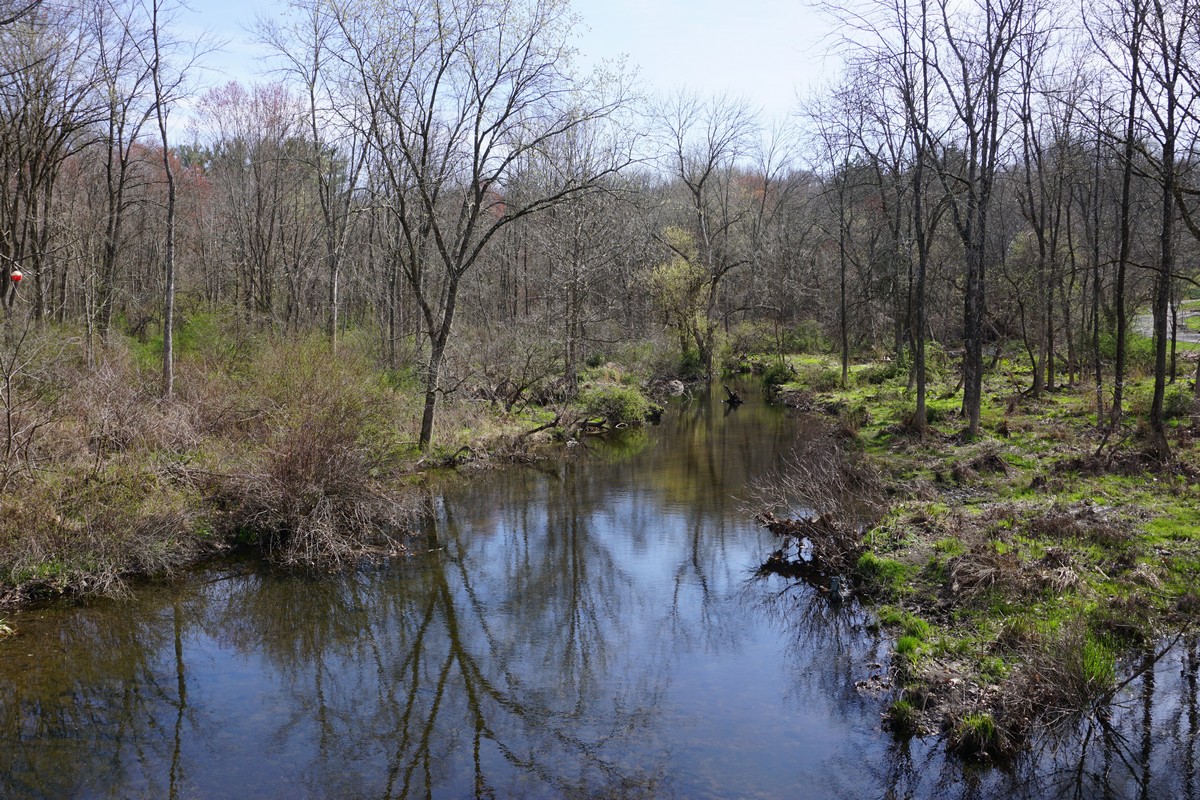
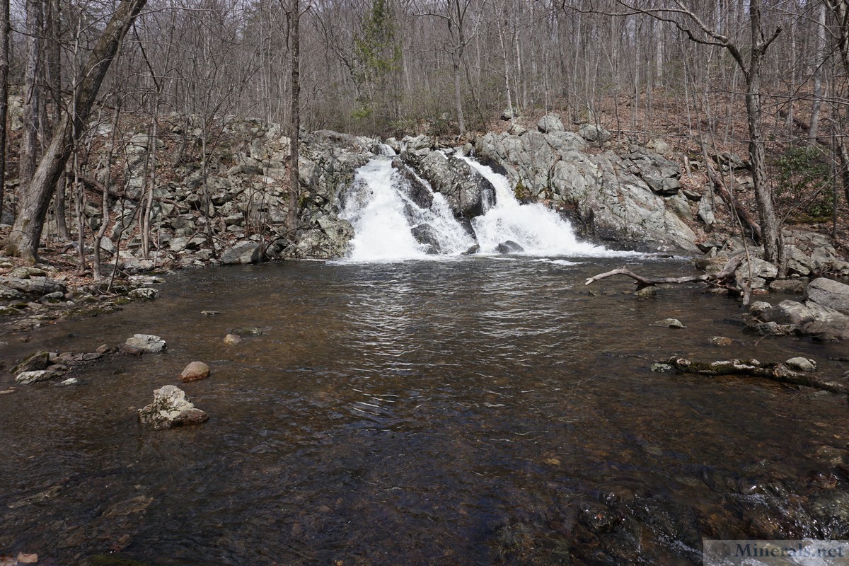
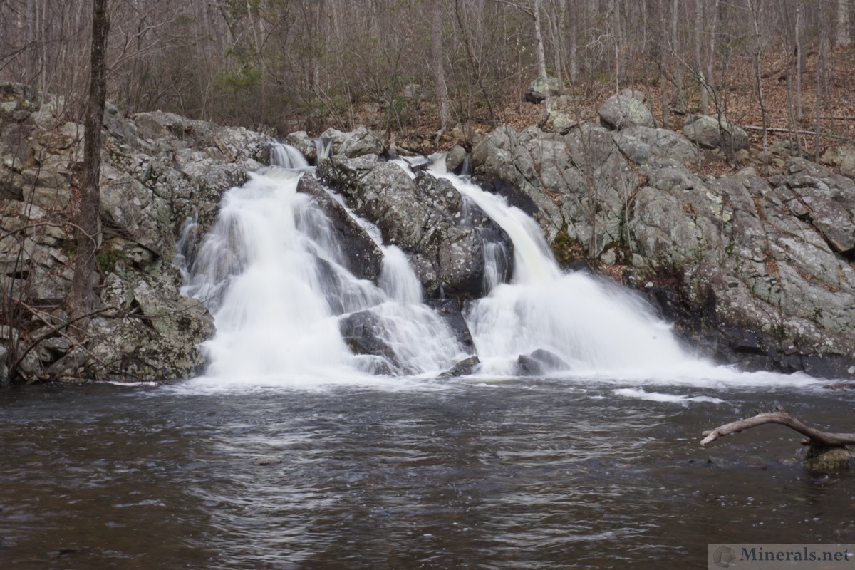
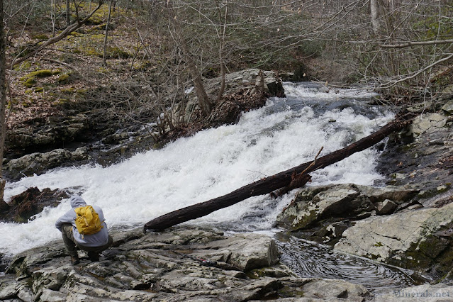
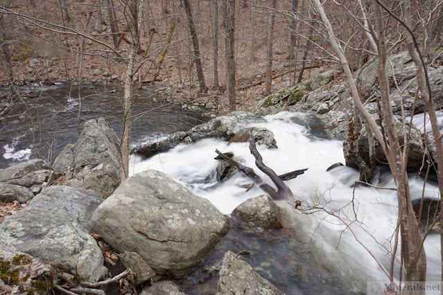
For this hike, the water level was very high, leading to flooding conditions and very difficult brook crossings. However, it did result in several great waterfalls, including the Chikahoki Falls which was flowing very strongly!
I took the Wyanokie Crest Trail to Posts Brook, which was difficult to cross because of all the water. I took it to the combined Hewitt-Butler Trail/Highlands Trail which I took down to Chikahoki falls, pasing several smaller falls along the way. The trail only gets a side view of the falls.
I continued on the trail to the Posts Brook Trail, and by the crossing of the trail it was totally washed out and unpassable, with deep flowing water. I ended up rolling up my pants, taking off my shoes and socks, and walked into the water and out, drying myself up after, to continue the hike. This was the first time I had ever done this!
I then continued along the Chikahoki Fire Road to the falls on the other side of the brook, where there is a much better view of the falls, and continued up the trail back to the parking area.
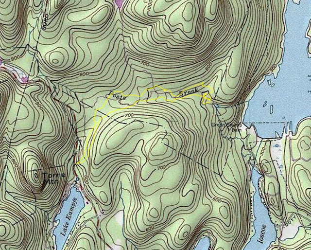 |
| Map of the Route |
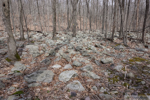 |
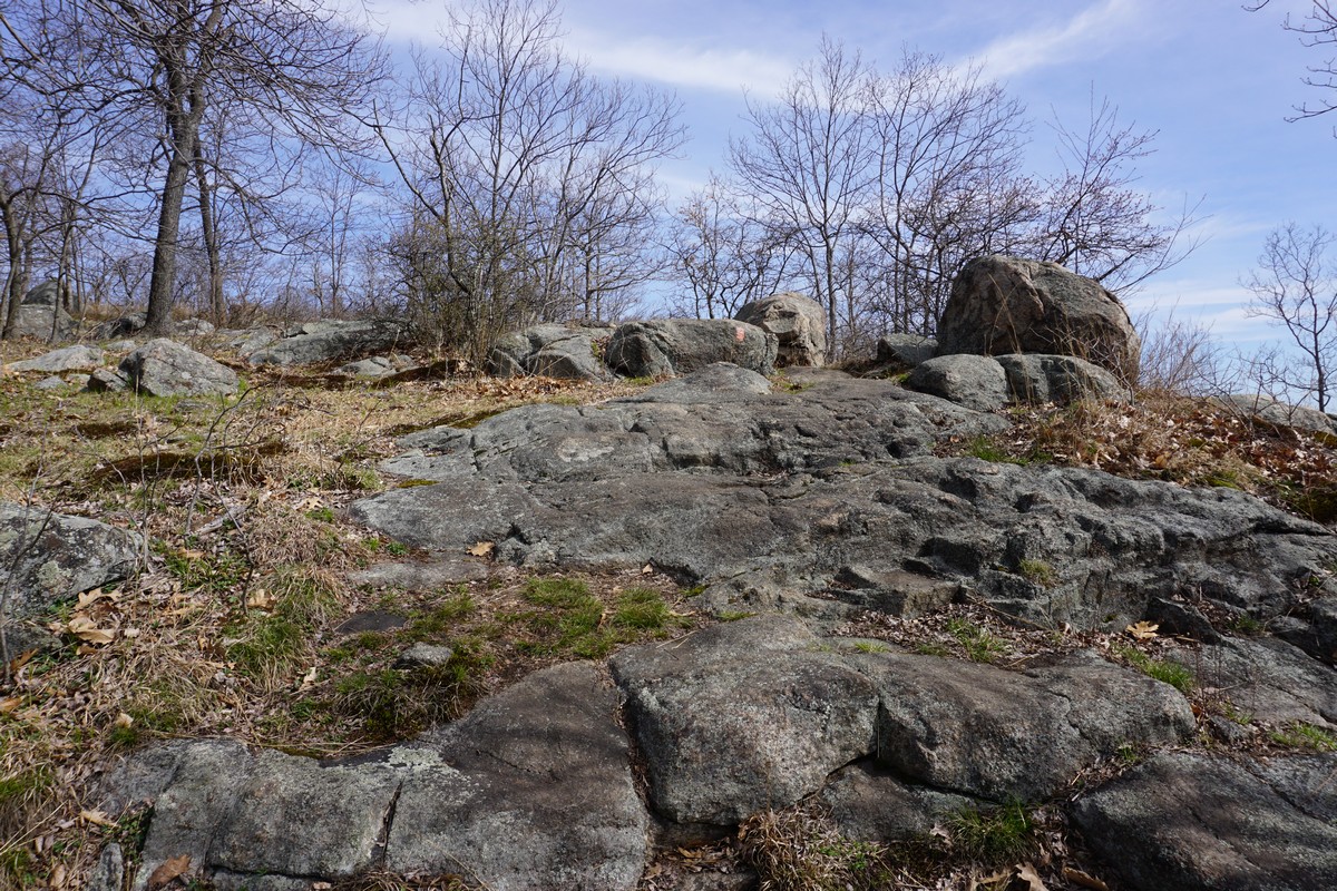
| Boulders Along the Trail |
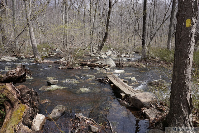 |
| Overflowing Trail Crossing on the Posts Brook |
 |
| Cascade on Posts Brook |
 |
| Top of Chikahoki Falls |
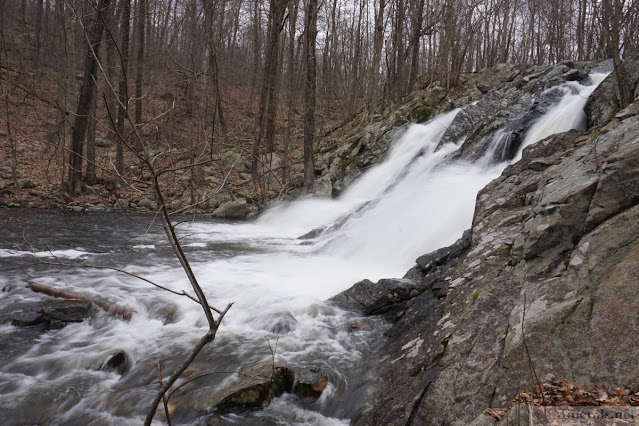 |
| Chikahoki Falls |