Rocks State Park, Falling Branch area
Harford County,
Maryland
Hiking Trails:
Kilgore Falls Trail: Unblazed
Total Time: 0:25 hour
Estimated Distance: 0.8 Miles
Pros: Nice waterfall
Cons: None (in winter when parking is available)
Hike Type: Out and back
Level of Difficulty: Easy
Google Maps of Parking:
https://goo.gl/maps/7d4YFFm8w4CgHCNV6
Hiking Partner:
Ari Gunzburg
(Noted motivational speaker - see https://arigunzburg.com)
After hiking the King and Queen seat, we drove about five miles north to the Falling Branch area of Rocks State Park, another part of the park disconnected from the main area. This area contains the Kilgore Falls, Maryland's second highest vertical drop waterfall, in a short hike that totals slightly under a mile roundtrip. We parked in the parking area and took the Kilgore Falls Trail, which was quiet being an early winter day. We took the trail to the waterfalls, and there was a strong water flow in the brook.
We crossed the brook precariously prior to the falls on the stepping stones in in the water. We then came close to the falls drop, took some pictures, and enjoyed the strong flow of the falls due to the recent rains. We then climbed up the rocks behind the falls, crossed the brook at the top, and then turned around and went back to the car. Since it was the winter, no prior reservations were required to enter. Please note that reservations are required to visit this area on weekends from Memorial Day Weekend through Labor Day.
 |
Map of the Route
|
 |
| Information Kiosk at the Beginning of the Hike |
 |
| Start of the Hike |
 |
| Small Bridge and Boardwalk Near the Start of the Hike |
 |
| Small Brook on the Hike |
 |
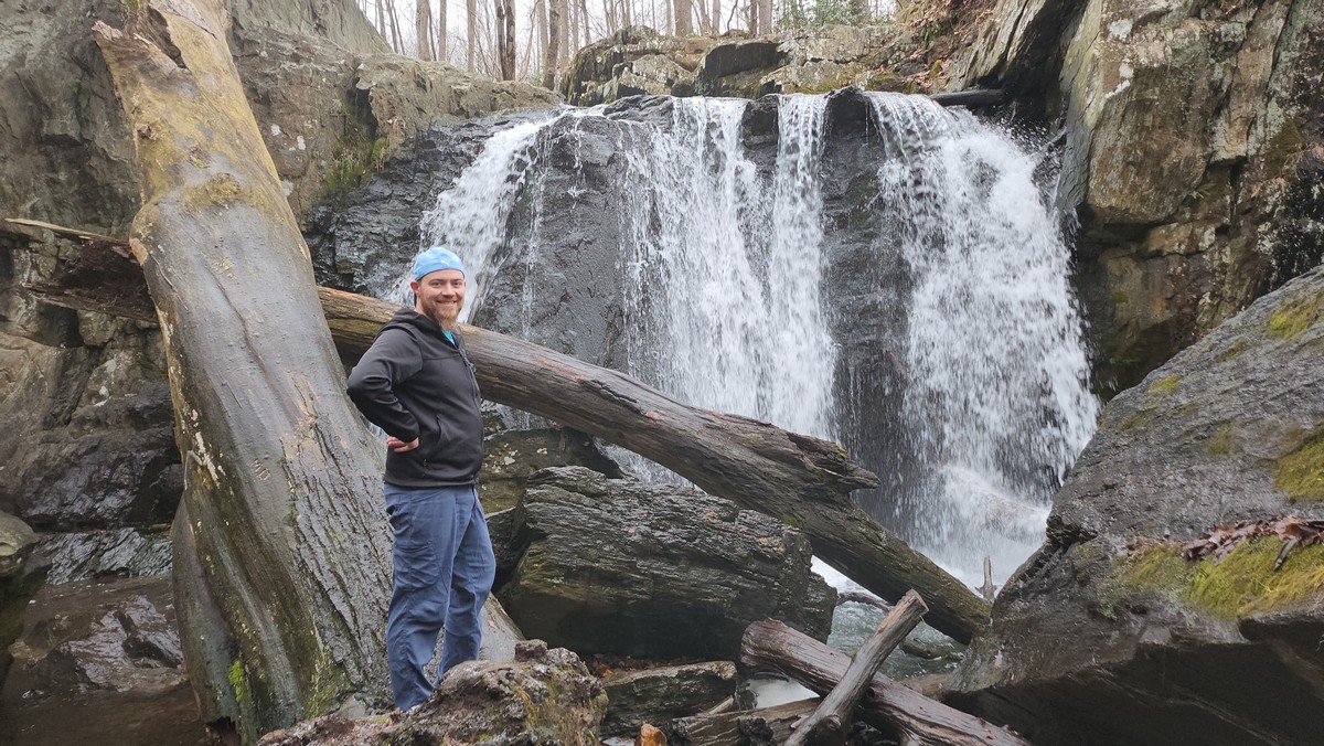
| Ari Gunzburg on the Trail |
 |
| Kilgore Falls in the Distance |
 |
| Difficult Crossing on the Stepping Stones |
 |
| Ari Under the Large Roack |
 |
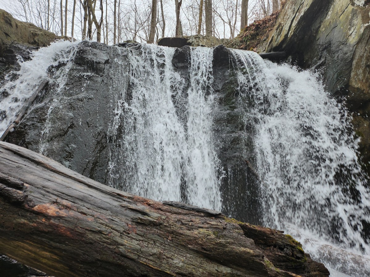
| Kilgore Falls |
 |
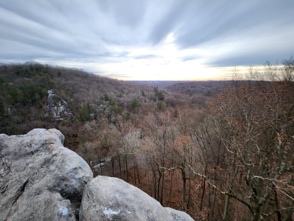
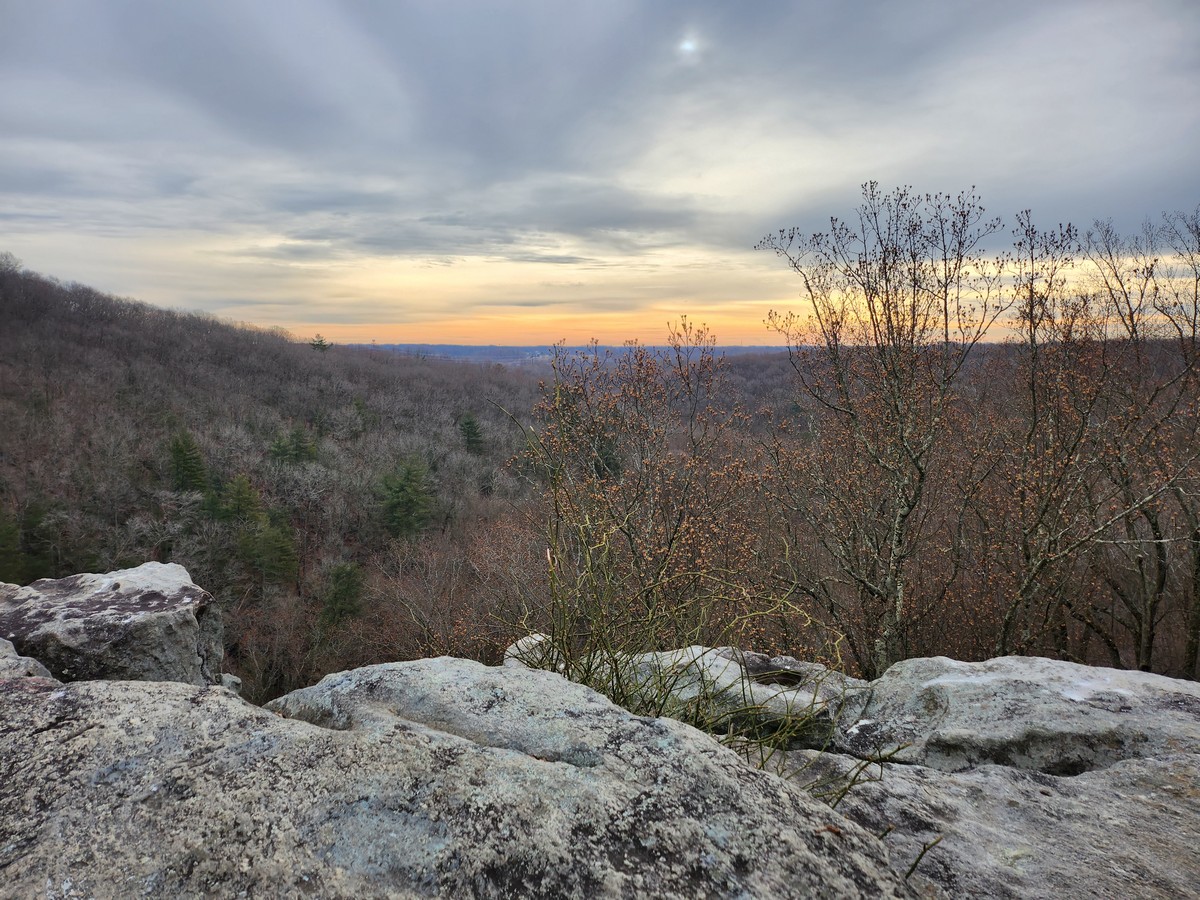
| Above the Falls |