North Jersey District Water Supply Commission
Passaic Co.,
New Jersey
Hiking Trails:
Burnt Meadow Road: Unblazed
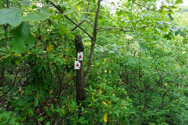
Stonetown Circular Trail: Red blaze
Signal Rock Trail: Unblazed
Total Time: 2:25 hour
Estimated Distance: 4.7 Miles
Pros: Good climb, remote area, and good view
Cons: None
Hike Type: Lollipop Loop
Level of Difficulty: Difficult
Google Maps of Parking:
https://goo.gl/maps/9H4udEqRKzSH5XrC9
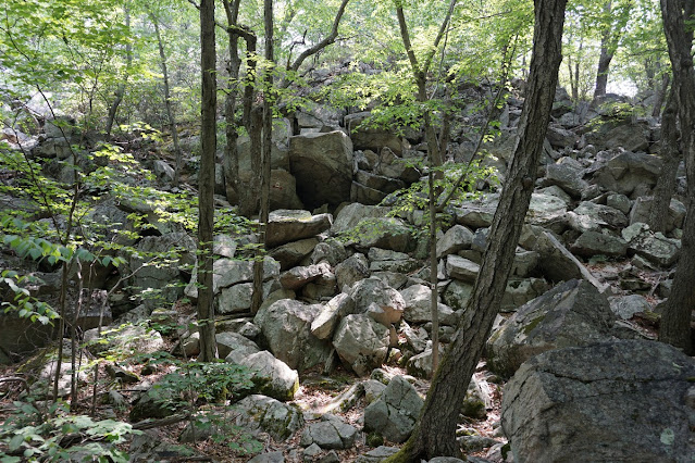
This was an interesting hike. I took a dirt road that felt like I was in middle of nowhere at the start of the hike, and I didn't see a single person the entire hike on a nice Sunday in the spring, which was very unusual. However, this was a really beautiful hike with great scenery. It's more intense than it looks like on the map. I was also disappointed with the Tory Rocks formation, as it wasn't quite as dramatic as I envisioned, but then the hike improved as I continued along the route.
I parked on Burnt Meadow Road, on the dirt road part where a sign was posted that the road is no longer drivable. I walked along the dirt road until the Stonetown Circular Trail, and took the trail to Tory Rocks. Tory Rocks is a large rock formation with a scramble which I took down. I then continued along the trail and took a detour along the unmarked trail up to Signal Rock. It was hard to follow the trail at first but once I was halfway up the mountain the trail became more clear.
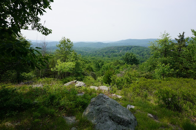
I took this trail to the end, where there is a south-facing view towards Wyanokie High Point. There is also a cool bench at this viewpoint. After admiring the view on this hazy day, I descended back along the same route and then continued along the Stonetown Circular Trail, passing another scramble and then descended the mountain, where I reached the next intersection with an unmarked trail that goes parallel to the Burnt Meadow Brook. I met two different turtles on the trail about 1000 feet away from each other. The first was a wood turtle and the second one was a box turtle. I was able to come close and take a picture of both of them.
I continued along this trail back to where it met the Stonetown Circular Trail which I took back to Burnt Meadow Road and then back to my car.
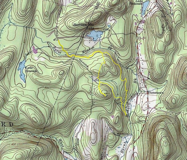 |
| Map of the Route |
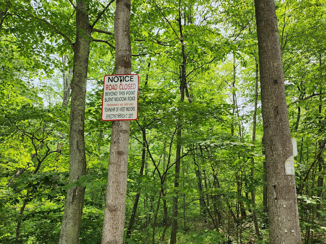 |
| Sign Where Burnt Meadow Road Ends Being Drivable |
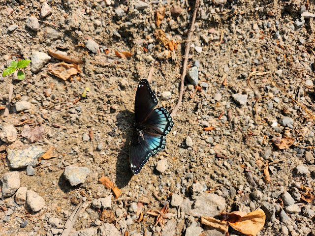 |
| Monarch Butterfly on the Trail |
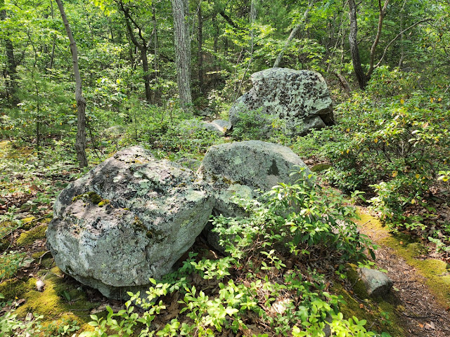 |
| Rock Formation Approaching Tory Rocks |
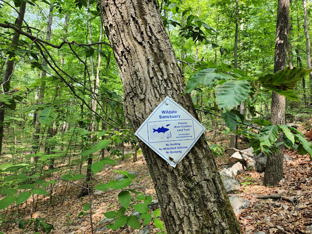 |
| Passaic River Coalition Land Trust Sign on the Hiking Trail |
 |
| View above Tory Rocks |
 |
| Descending Tory Rocks |
 |
| Tory Rocks |
 |
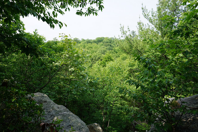
| View at Signal Rock |
 |
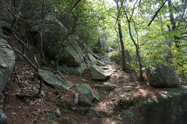
| Rock Scramble While Descending the Stonetown Circular Trail |
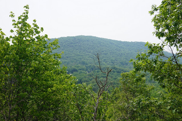 |
| View of Windbeam Mountain on the Descent |
 |
| Box Turtle (Hiding his Face from me) |
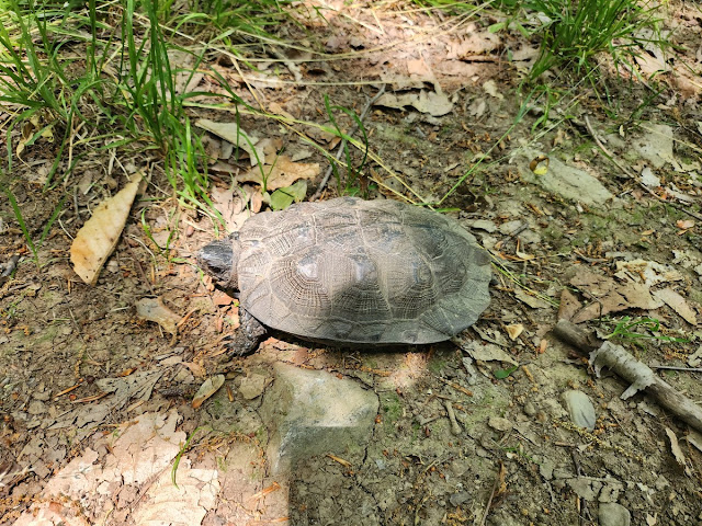 |
| Wood Turtle |


No comments:
Post a Comment