Schunnemunk Mountain State Park
Orange Co.,
New York
Hiking Trails:
Long Path: Green blaze
Jessup Trail: Yellow blaze
Earl Reservoir Trail: Unblazed
Total Time: 4:00 hour
Estimated Distance: 6.2 Miles
Pros: Good climb and excellent views
Cons: Road walking on return
Level of Difficulty: Very difficult
Hiking Partners:
Shimmy & Morty Rosenberg
This was a hot early summer day in the beginning of July. I had not been to this part of the mountain in almost ten years, and I remembered it being a good hike with fantastic views.
We parked on the side of Route 32 by Evans Drive, walked up Route 32 slightly past the railroad bridge, and then took the Long Path towards the mountain. The trail goes along the side of the railroad track here for a bit of time, and then veers away and gradually climbs.
The trail skirts around Little Know, and we didn't veer off to it, as I remembered the High Knob view being more impressive. The trail climbs very steeply at this point, and there is an excellent view facing south here at High Knob. Continuing a bit further along the trail is the High Knob Summit, with excellent views north, east, and south.
We then continued along the Long Path due west, down the valley and back up the next ridge, until we met the Jessup Trail. There is a large exposed rock face at this point, with short pitch pines, as is characteristic of the summit area of this mountain. Also present is a great view facing west. We then went south on the Jessup Trail along the southern ridge, and then took the unmarked trail that goes alongside the brook that feeds into the Earl Reservoir.
This is a very steep trail down, and is hard to follow. Towards the top its a bit overgrown, though here are some crude unofficial blazes present along the way. We heard gunshots nearby as we were getting down, and we then saw signs about an active gun range in the vicinity.
We continued until we reached Woodbury Park, a local town park, where this trail ends near the Earl Reservoir. We then cut across to Brigadoon Blvd, a street of new homes. We walked for a while on this street and in this neighborhood (and unfortunately without much shade present) until we reached route 32, which we took to Evans Rd. and back to our car.
 |
| Map of the Route. West Hudson Trails |
 |
| Tiger Lily at the Beginning of the Hike |
 |
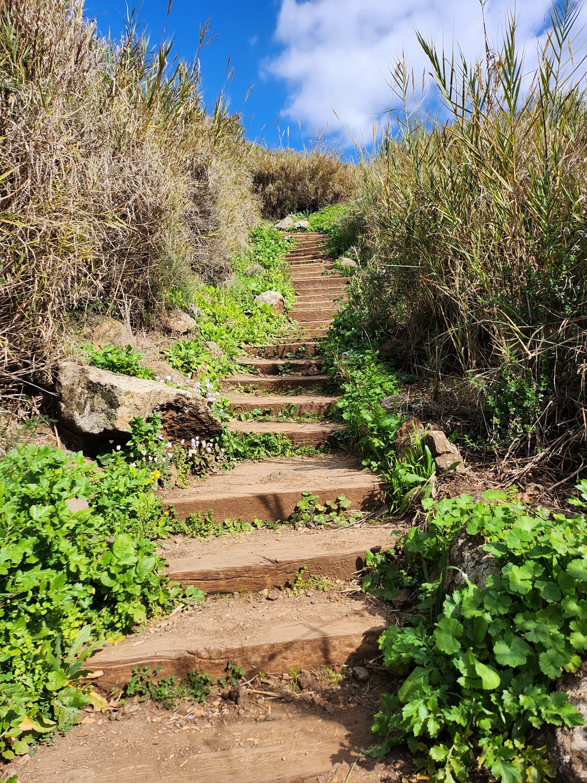
| Long Path at the Beginning of the Hike |
 |
| Under the Railroad Bridge Trestle |
 |
| View from High Knob at the Scramble |
 |
| Another view at High Knob |
 |
| New Housing Development South of High Knob |
 |
| View from High Knob Facing Southwest |
 |
| Morty Above the Scramble Point |
 |
| Me at the High Knob Scramble View |
 |
| View Facing South |
 |
| Shimmy Relaxing at High Knob |
 |
| From the the High Knob Summit, Facing East |
 |
| View from the RHigh Knob Summit |
 |
View Facing Northeast Towards Storm King,the Hudson River,
and the Thruway Down Below |
 |
| Me at the High Knob Summit |
 |
| Zoomed in to me at the Summit |
 |
| Near the Schunnemunk Summit at the Jessup Trail |
 |
| Near the Schunnemunk Mountain Summit |
 |
| Shimmy & Morty Taking a Break at the Rock Face on the Jessup Trail |
 |
| Me at the Rock near the Summit |
 |
| Capturing the Moment |
 |
| View Facing West Towards the Great Valley |
 |
| Large Conglomerate Rock Exposures Along the Ridgeline |
 |
| View Towards the Gunks and the Catskills, in the Distance |
 |
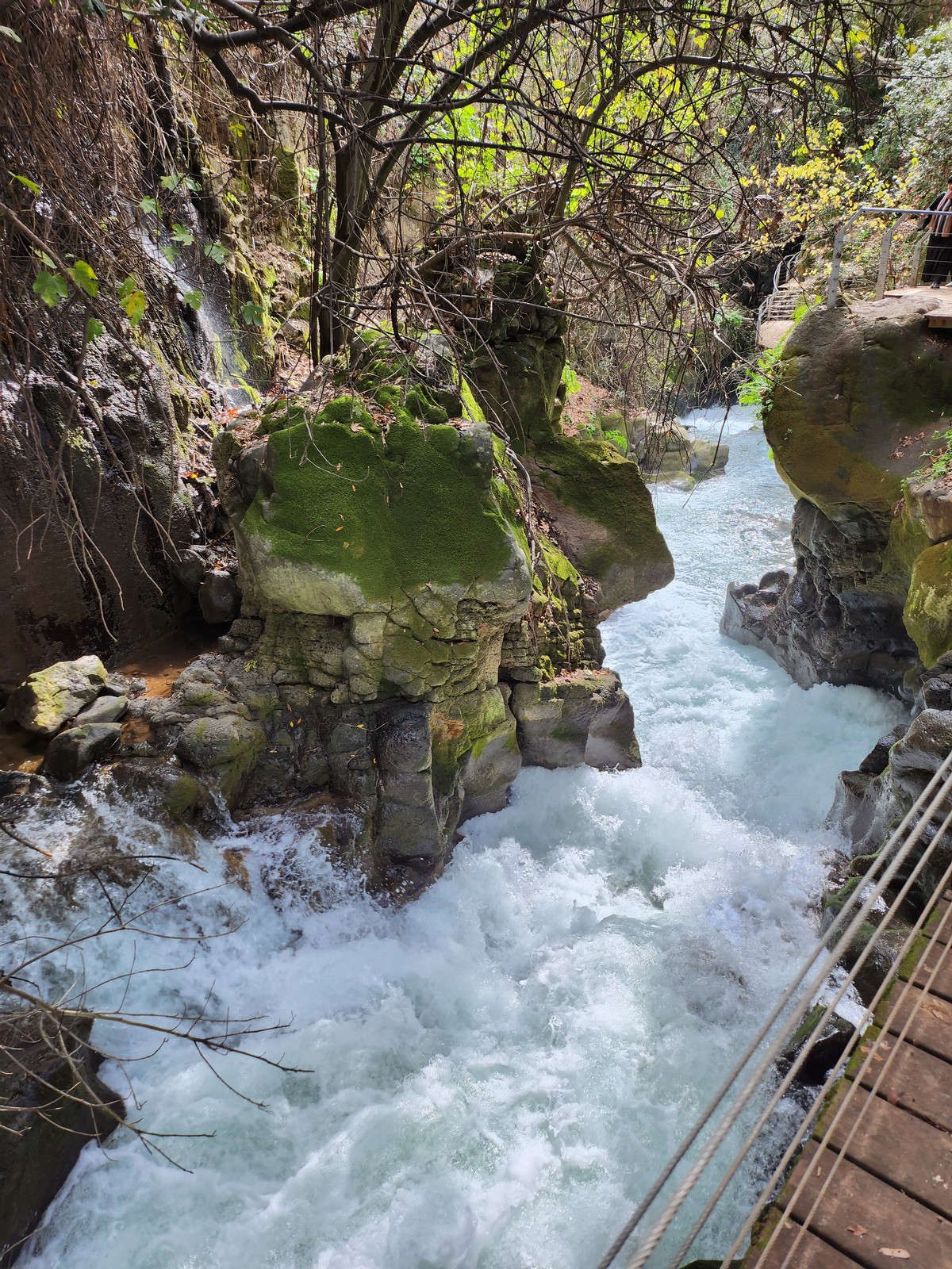
| Small Waterfall along the Brook Feeding the Earl Reservoir |
 |
| Not a Good Idea to Venture off the Trail, Especially with Audible Gunshots |
 |
| Earl Reservoir |
 |
| Earl Reservoir, with the Schunnemunk Ridge in the Background |


