Long Pond Ironworks State Park /
Tranquility Ridge County Park,
Passaic Co.,
New Jersey
Hiking Trails:
Sterling Ridge Trail: Blue Blaze
Hasenclever Iron Trail: Yellow Blaze
Total Time: 1:30 hour
Estimated Distance: 2.9 Miles
Pros: Scenic Frozen Lake, Historic District
Cons: Confusing Trail Marker at north end of Monksville Reservoir
Hike Type: Loop
Level of Difficulty: Moderate
Google Maps of Parking:
https://goo.gl/maps/E7Am9F3K2FMZgJSs8
The past week had been very cold. I had checked the Harriman office if the lakes there were listed as safe to walk on, but non were open. I drove towards Wawayanda, and noticed that the northern part of the Monksville Reservoir had many people on it, mostly ice fisherman but also a group of people playing hockey.
It was frozen without any snow, making conditions very slippery. I had ice crampons, otherwise this walk on the lake would have been nearly impossible. I parked at the parking area/boat launch area on Beech Road, and walked across the lake to the Long Pond Ironworks main area, passing many of the abandoned historical houses along the way. I visited the iron furnaces, and then crossed the new bridge, taking the Hasenclever Iron Trail up the ridge and then back down to the reservoir. I hiked around the northern end of the Monksville Reservoir, and then took Beech Road back to my car.
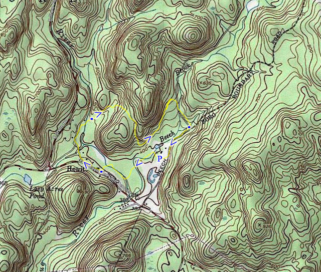 |
| Map of the Route. Note the map is prior to the Reservoir. |


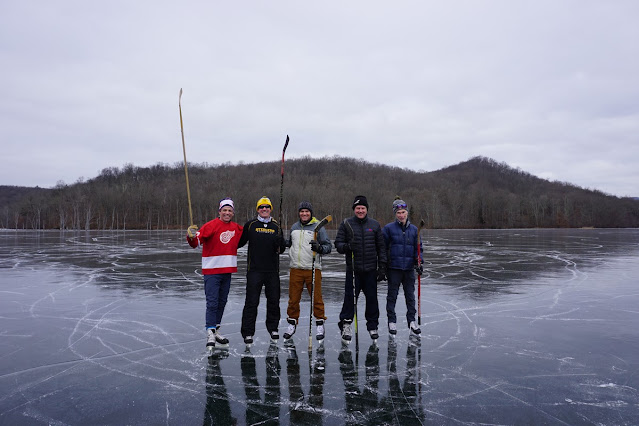 |
| Hockey Team on the Frozen Lake |


 |


