Wednesday, August 16, 2023

Mammoth Caves National Park Historic Tour

Mammoth Cave,
Edmonson Co.,
Kentucky

Hiking Trails:
Historic Tour cave route

Total Time: 2 hours
Estimated Distance: 2 Miles

Pros: Large and famous cave
Cons: Large crowds on tour
Hike Type: Lollipop Loop
Level of Difficulty: Moderate

Google Maps of Parking:
https://goo.gl/maps/PqCKELD94KycBvaX8

I had been traveling with my family in Kentucky and Tennessee, and one of our stops was Mammoth Caves National Park. Aside from hosting the most extensive cave system in the world, Mammoth Cave is indeed massive, and the tour we took, the historic tour, feature an absolutely massive cave that is impressively large in width and height. 

There are many different cave tours, and they need to be booked. It is advisable to book in advance as cave tours fill up. We opted for the historic tour, to explore the main cave and the surrounding cave. The cave tours in summer are very large, with many people on our tour led by a national park service ranger.

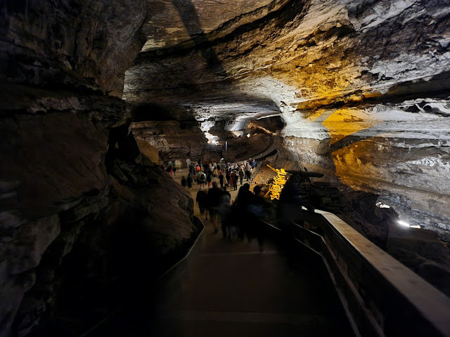
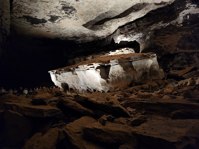
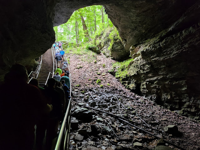
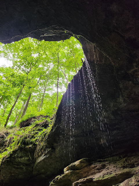
This tour goes through the main cave entrance (the "historic" entrance), descending into the mouth via a pair of staircases. There is a small waterfall dropping into the cave mouth next to the steps. As the path continues, the cave width widens, eventually getting very wide and forming a massive inner chamber called the "Rotunda". We continued along the tour, passing the old saltpeter workings, and then to the Giant's Coffin.

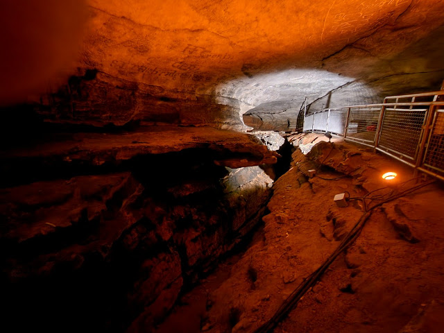
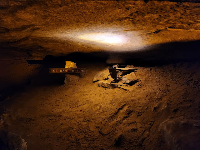
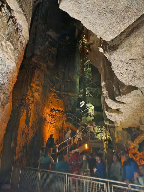
We then went off the main cave route and into a smaller passage, taking many steps in the process. We passed the Wooden Bowl Room, the Bottomless Pit (a very deep crevice), and then to Fat Man's Misery, a narrow passageway. We then took the impressive stair system up Mammoth Dome, which took us back to the main cave and then back out the entrance. 
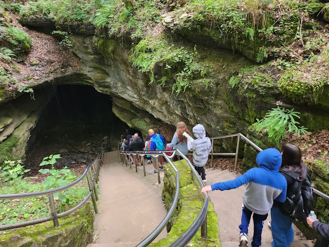
Descending the Stairs into the Main Cave Entrance


Mouth of the Cave

Inside the Main Passageway


Giant's Coffin

Deep, Narrow Passage


Bottomless Pit


Fat Man's Misery

Staircase up Mammoth Dome

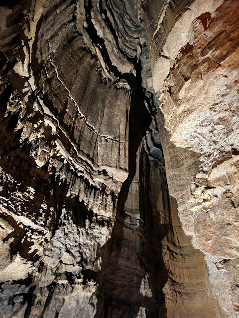
Mammoth Dome


Exiting the Cave

Waterfall at the Cave Entrance

Sunday, August 13, 2023

Hook Mountain Short Loop Hike

Hook Mountain State Park,
Near Nyack,
Rockland Co.,
New York

Hiking Trails:
Yellow Trail: Yellow blaze
Long Path: Green blaze

Total Time: 0:45 hour
Estimated Distance: 1.2 Miles

Pros: Short and sweet: Good climb, great views
Cons: Urban field of view
Hike Type: Loop
Level of Difficulty: Moderate

Google Maps of Parking:
https://goo.gl/maps/dtPUUPejWzoWgE4b7

Hiking Partner:
Elisha J. Friedman

I was on the way to a tradeshow out of town, and as my first hike where I could do elevation, this was a great start back into regular hiking. Although it was short, the hike and view were great. We parked on Route 9W at the top of the ridge north of Nyack. We took the Yellow Trail up, and then took the last leg up the mountain on the Long Path. We stopped at the top of Hook Mountain, with nice views on both sides. We then took the Yellow Trail down and then the Long Path on the southern flank of the mountain. We bushwhacked a short distance near Route 9W up to Route 9W which we took back to the car.

Map of the Route

Start of the Yellow Trail on Route 9W

Steep Rocky Part on the Long Path up to the Hook Mountain Summit

Ascending Hook Mountain Summit

View Ascending the Hook Mountain Summit

Ascending Hook Mountain

Beavertail Cactus on Hook Mountain

Hook Mountain Summit and Tappan Zee Bridge


View Southwest from Hook Mountain


Hook Mountain View Facing North

Hook Mountain View from the Long Path

Friday, August 11, 2023

Stony Point Battlefield State Historic Site

Stony Point,
Rockland Co.,
New York

Total Time: 0:45 hour
Estimated Distance: 1.4 Miles

Pros: Historic area, scenic lighthouse and river views
Cons: Small area
Hike Type: Loop
Level of Difficulty: Very easy

Google Maps of Parking:
https://goo.gl/maps/mE5Pkpg6bJXYHevPA

Continuing on my easy hikes for health reasons this summer, I decided to do a short hike and explore the Stony Point Battlefield State Historic Site. This area is a rocky peninsula jutting into the Hudson River, and contains relics of the 1779 Battle of Stony Point during the American Revolutionary War. It also has a museum with exhibits about the battle and a lighthouse.

I parked in the main parking area, then went up the hill alongside the train tracks to the road entrance of the park, and took a picture of the historic gate above the railroad bridge. I then went to the museum and explored the top of the hill, and then the lighthouse, the Hudson River overlook, and then walked down to the side of the Hudson River.

Map of the Route

Railroad Near the Parking

Historic Entrance: Stony Point State Park Sign

View Ascending the Hill

Steps to the Highest Point


Museum Building


Stony Point Lighthouse


View Facing South Towards Hudson Bay


Hudson River Shoreline