Harriman State Park,
Orange Co.,
New York
Hiking Trails:
Hogencamp Road: Unblazed blaze
Dunning Trail: Yellow blaze
Ramapo-Dunderberg Trail: Red blaze
Total Time: 3:00
Estimated Distance: 5.3 miles
Pros: Scenic lake, unique scenery, great views
Cons: None
Hike Type: Triple Eight Loop
Level of Difficulty: Difficult
Map of Route:
https://goo.gl/maps/TrU4ab7UGPGQygzi8
Hiking Partners:
Shimmy Rosenberg
Simcha Krongold
This was the coldest day of the season yet. In addition to temperatures in the 30's, there was a strong wind, which made itself especially apparent on the top of the ridge at the higher elevations that we were at. We parked at the Lake Kanawauke parking area, and walked along Kanawauke Road, which was closed, to the trail at Hogencamp Road. We took this path to the southern part of the Hogencamp Mine, and then crossed the Dunning Trail and bushwhacked to the top of the ridge at the southern part of Hogencamp Mountain. There is a nice view over here. We then bushwhacked down the western flank and met back up with the Dunning Trail.
At the bowling rocks, we took another bushwhack towards the top view at Hogencamp Mountain on the Ramapo-Dundberg Trail before it dips down to Times Square. This bushwhack was much more difficult than anticipated. I had thought it would be composed of exposed rock faces, but there were some dense brush areas we needed to literally bushwhack through!
We enjoyed the amazing view on the giant rockface, and then went back towards the southwest on the Ramapo-Dunderberg Trail, passed Ship Rock and along the exposed rock faces. After crossing the Dunning Trail again, we went to the Black Rocks Shelter, taking a coffee break where we brewed some fresh coffee. We then took the Dunning Trail back to Hogencamp Road, along the eastern spur this time, and then back along Kanawauke road back to our car.
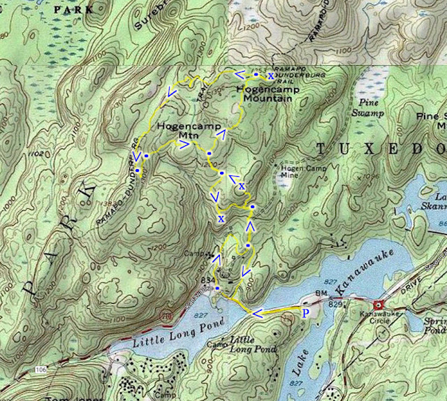 |
| Map of the Route |
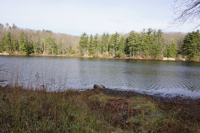 |
| Lake Kanawauke |
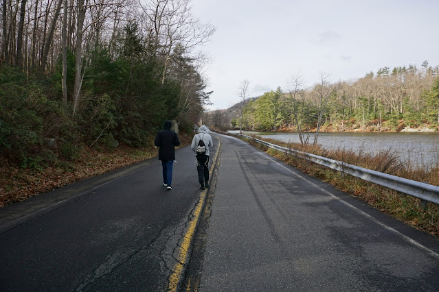 |
| Shimmy & Simcha on Lake Kanawauke Road |
 |
| Lake Kanawauke |
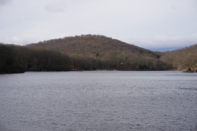 |
| Little Long Pond and Tom Jones Mountain |
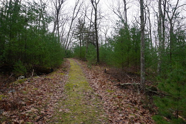 |
| Hogencamp Road |
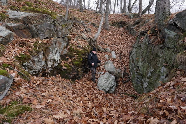 |
| Mine in the Hogencamp Mine Complex |
 |
| Hogencamp Mine Rock Cut |
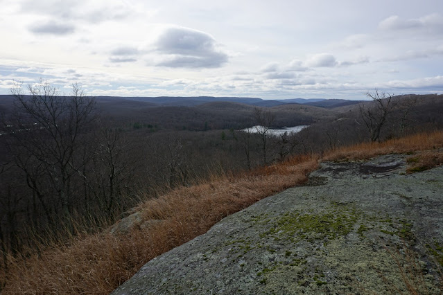 |
| Hogencamp Mountain View |
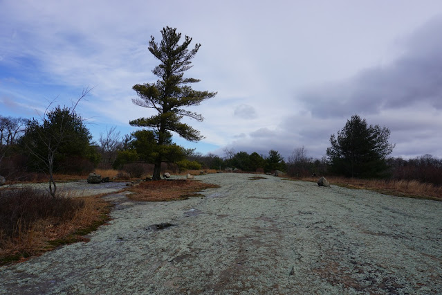 |
| Bowling Rocks on the Dunning Trail |
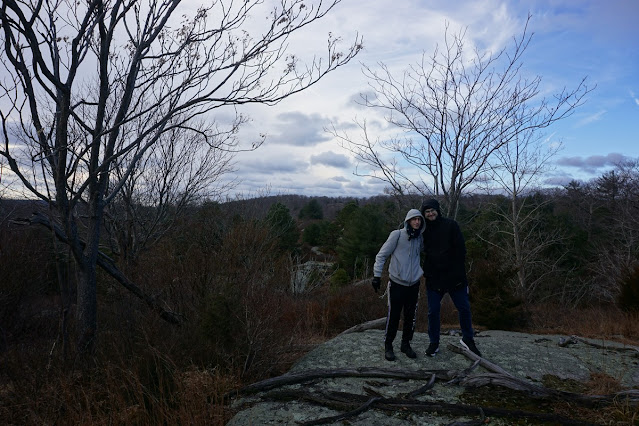 |
| Shimmy and Simcha |
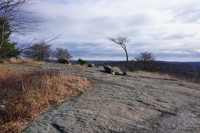 |
| View at Hogencamp Mountain |
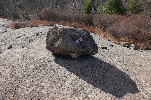 |
| Clever Cat on the Trail Markers |
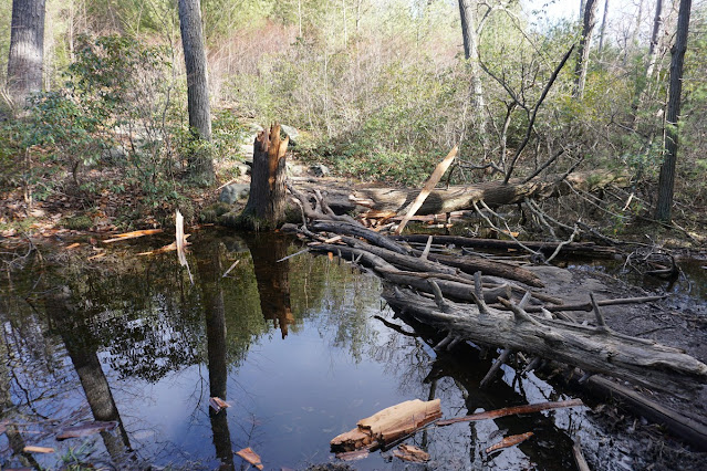 |
| Water Crossing on the Ramapo-Dunderberg Trail |
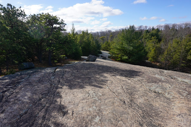 |
| Large Rockface on the Ramapo-Dunderberg Trail |
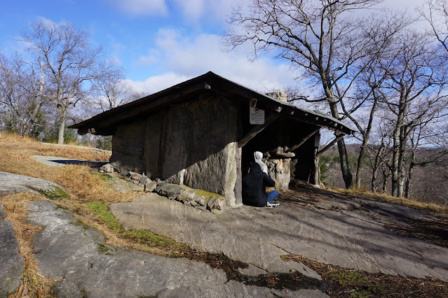 |
| Bald Rocks Shelter |
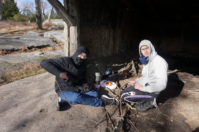 |
| Fresh-Brewed Coffee at the Shelter |
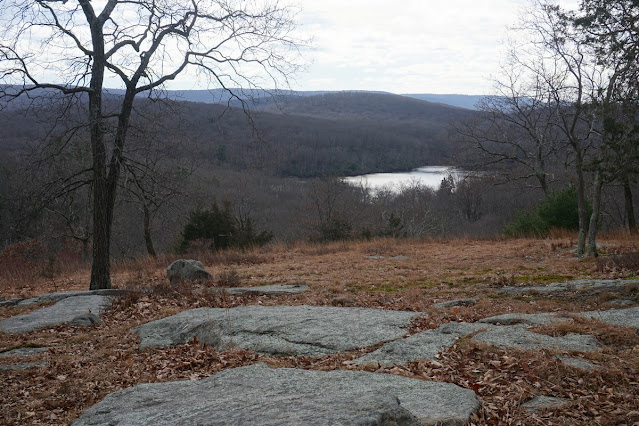 |
| Hogencamp Mountain Lower View and Little Long Pond |
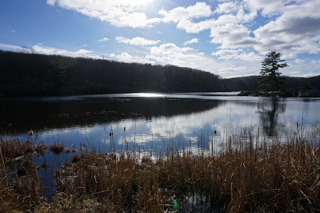 |
| Little Long Pond |


