Sunday, March 12, 2023

Mineral Springs Falls and Jupiter's Boulder

Black Rock Forest
Orange Co.,
New York

Hiking Trails:
Scenic Trail / Highlands Trail: White / Blue blaze

Total Time: 2:00 hour
Estimated Distance: 3.2 Miles

Pros: Impressive view, great views, quiet area
Cons: None
Hike Type: Back and out
Level of Difficulty: Difficult in snow conditions

Google Maps of Parking:
https://goo.gl/maps/5axRody7DNRQQGjk9

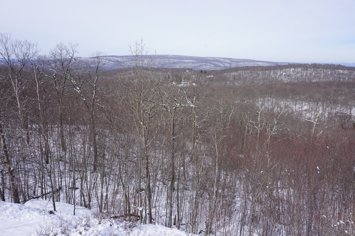
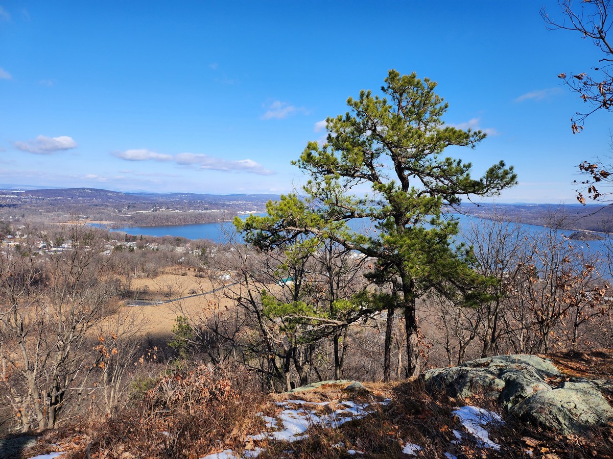
I've been to Black Rock Forest before but I've never been to this part before. This is the Westernmost part of the Forest Preserve, and is highly scenic. I was very impressed by the waterfalls as well as the view at the top by the boulder. This is a good climb in a relatively quiet and scenic area. The weather was cold and there was full snow cover in this area which was above the 800 foot line.

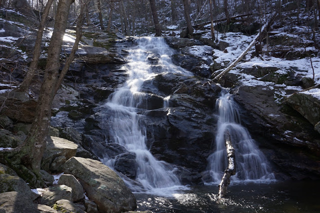
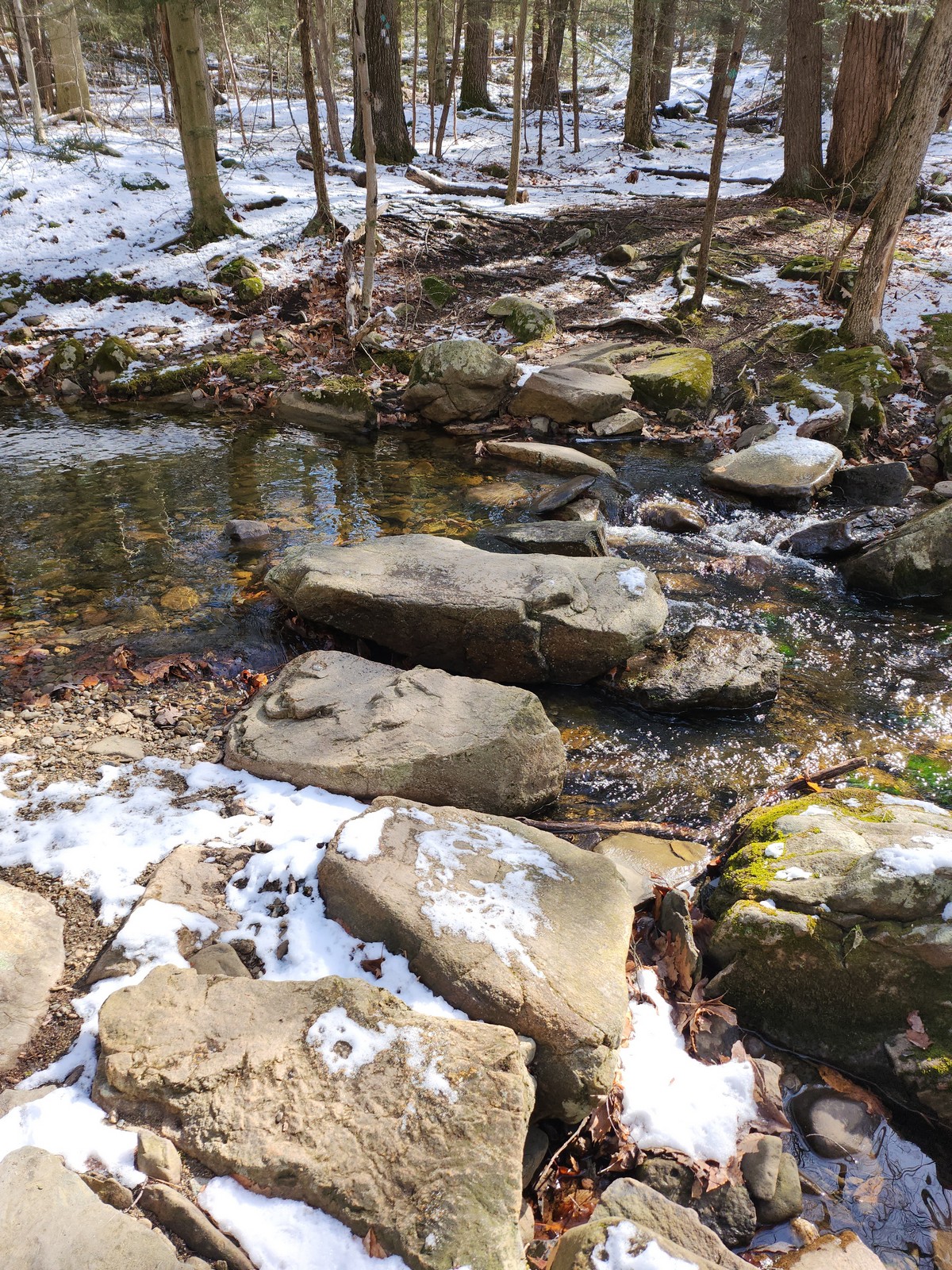
I parked on Old Mineral Springs Road, at the Mineral Springs Trailhead. I took the Scenic Trail for a short distance to the waterfalls, which was very impressive. There was a strong water flow because of the recent rains and melting snow, and was surprised at the size of the falls. It is definitely one of the most impressive falls in Highlands Region, and isn't even named on the map!

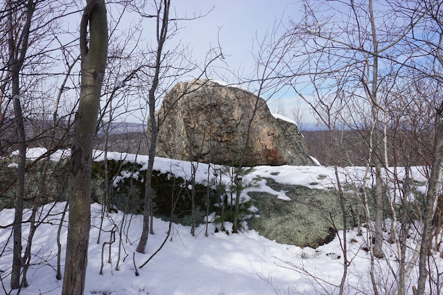
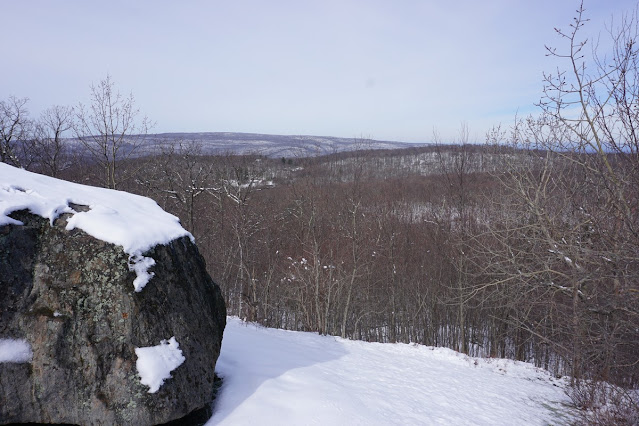
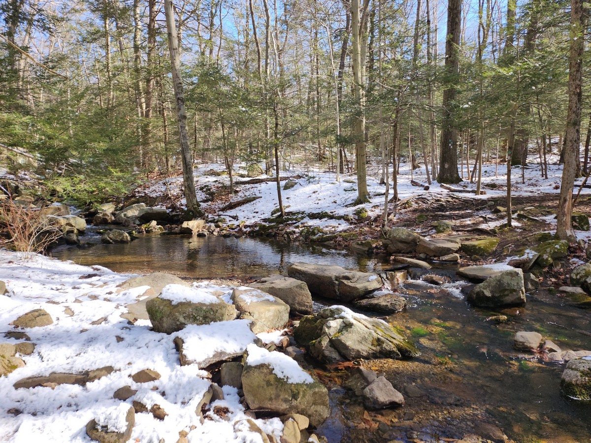
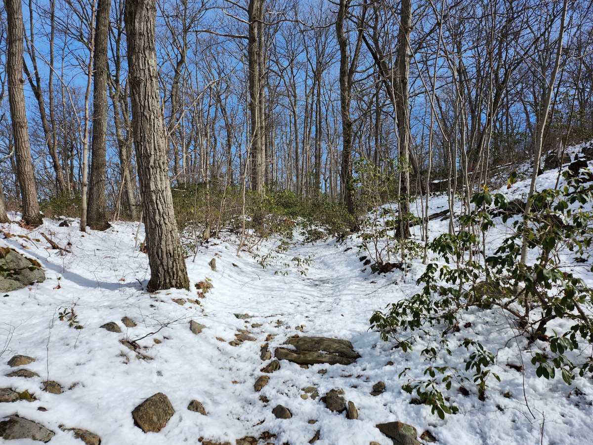
After appreciating the falls from the bottom at the trail, I climbed up the trail to upper section of the waterfalls, and then continued along the trail alongside Mineral Springs Brook. After the trail veered off the main brook it climbed steeply while passing through an evergreen mountain laurel forest. After that, Jupiter's Boulder came into view. This a large glacial erratic just sitting above the bedrock, with a sweeping view. The rock has distinctive brown patterns that make it resemble the planet Jupiter.

After climbing the rock and spending a few minutes enjoying the view, I continued a bit further to the next trail intersection with the Ryerson Trail. I then turned around and took the same route back to my car.
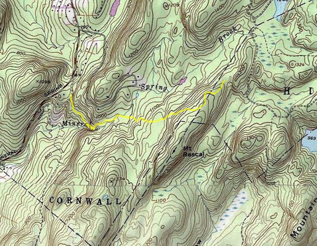
Map of the Route

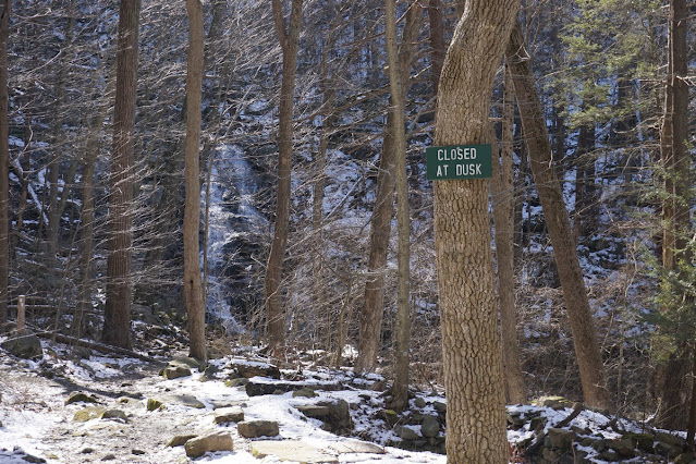
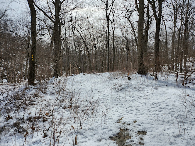
Start of the Hike


Approaching Mineral Springs Falls


Mineral Springs Falls


Mineral Springs Falls Middle Falls

Mineral Springs Falls Upper Falls


Mineral Springs Brook Trail Crossing


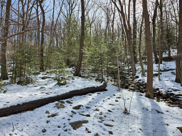
Ascending Mt. Rascal


Jupiter's Boulder


View at Jupiter's Boulder


Trail Intersection after Jupiter's Boulder

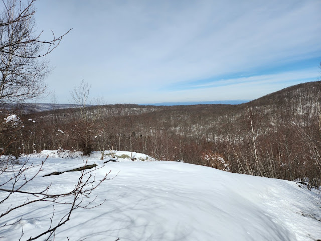
View Past Jupiter's Boulder

Cool Trees on the Trail

Sunday, March 5, 2023

Storm King Mountain Northern Portion

Storm King Mountain Northern Portion
Storm King State Park
Orange Co.,
New York

Hiking Trails:
Stillman Trail: Yellow blaze
Highlands Trail: Blue blaze
Bluebird Trail: Red/Blue blaze

Total Time: 2:00 hour
Estimated Distance: 3.7 Miles

Pros: Great climb, amazing views
Cons: Limited Parking
Hike Type: Back and out
Level of Difficulty: Difficult in snow conditions

Google Maps of Parking:
https://goo.gl/maps/6AW2BhcbYJvF1eLW6

I have been to Storm King Mountain many times, but haven't been at the trails on the northern approach of the mountain. I decided to do this hike and see how far I get up the mountain, and ended up without realizing it reaching the Butter Hill Summit. 

I parked at the beginning of the Stillman Trailhead on Mountain Road. This is a small parking area and I suspect it fills up quickly during good weather on weekends. On my visit there was just one other car here. The trail is a wide path and former road so it's easy walking for the beginning of the hike. There was some patch snow at the beginning, but as I climbed the snow cover increased, and when I got the real ascent it was full snow cover.

I took the Stillman Trail to the intersection of the Highlands Trail, and took the short spur north to the view over the Hudson River and Newburgh. I then went south, ascending the mountain gradually on the combined Stillman/Highlands Trail. At the start of the Bluebird Trail I took it further up. This trail is quite steep in some places, and especially with snow was a bit treacherous. I had planned to turn around at the Bluebird Trail view, but I decided to push myself a bit longer to the trail terminus back at the Stillman Trail. Once I got here I realized it's not that much further to the top, so continued on the trail to the Summit of Butter Hill. I then turned around and went back on the Stillman Trail to the Bluebird Trail, then taking the old woods road by the abandoned homes, back to the Stillman Trail and back to my car.

Map of the Route

Start of the Hike

Stillman Trail

First View, Facing Newburgh Bay


Facing North Towards Newburgh, New Windsor and Cornwall


Start of the Bluebird Trail

Ruins on the Trail

View on the Bluebird Trail


Evergreen Mountain Laurels in the Snow

Bluebird Trail Terminus

Rock at the Top of Butter Hill

Climbing the Rock

Butter Hill Summit


Ruins on the Northern Foot of the Storm King