Harriman State Park
Rockland / Orange Counties,
New York
Hiking Trails:
Blue Disc Trail: Blue blaze
Tuxedo-Mt. Ivy Trail: Red blaze
Ramapo-Dunderberg Trail: Red blaze
Total Time: 2:00 hours
Estimated Distance: 3.9 Mile
Pros: Good views, scenic and quiet area, rock formations
Cons: None
Hike Type: Two Car
Level of Difficulty: Slightly difficult
Google Maps of Parking:
First Car: https://maps.app.goo.gl/bUyksxb3MernEToR8
Second Car: https://maps.app.goo.gl/bMLmNxV3ufS4tRKEA
Hiking Partner:
Yehudah Koblick
 |
| Map of the Route |
 |
| Brook at the Beginning of the Hike |
 |
| Ascending up Almost Perpendicular / Daters Mountain |
 |
| View at Almost Perpendicular |
 |
| Elbow Brush Rock Formation |
 |
| Claudius Smith Den View |
 |
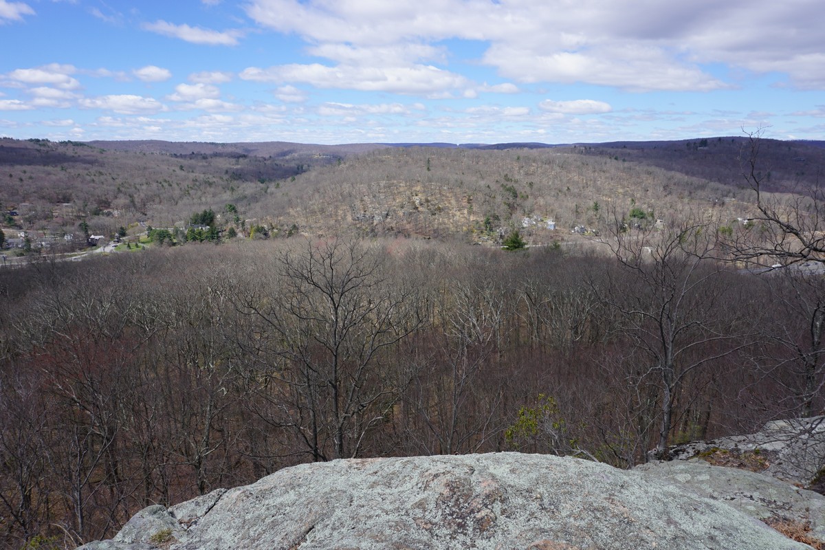
| Smith Rock View Over Tuxedo |


No comments:
Post a Comment