Harriman State Park
Orange Co, NY
Hiking Trails:
Ramapo-Dunderberg Trail: Red blaze
Tuxedo-Mt. Ivy Trail: Red blaze
Blue Disc Trail: Blue blaze
Total Time: 2:15
Estimated Distance: 3.5 Miles
Pros: Historic rock formations, nice views, good scrambles
Cons: None
Hike Type: 2 Car
Level of Difficulty: Difficult
Google Maps of Parking:
Car 1: https://maps.app.goo.gl/C7xECYTt63xqCmMi8
Car 2: https://maps.app.goo.gl/xyjicGocA9xgZKRo9
Hiking Partner:
Yehudah Koblick
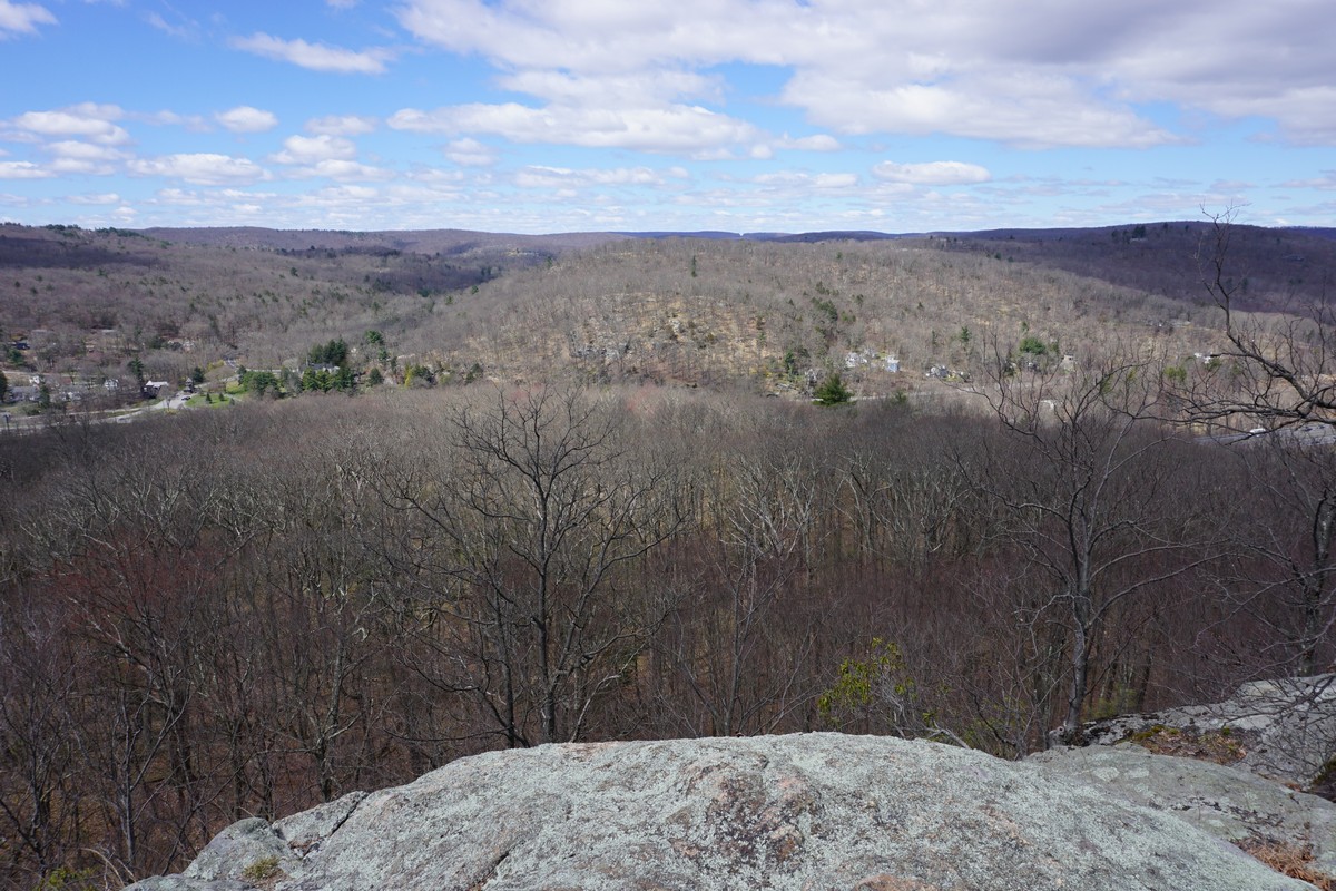
This is a two car hike passing through some very scenic areas of Harriman State Park. We parked the first car near the Ramapo-Dunderberg Trailhead near the Thruway overpass on E. Village Road in Tuxedo. We took the Ramapo-Dunderberg Trail up to the Tuxedo village view. We then continued on the Tuxedo-Mt. Ivy Trail to Claudius Smith Den, exploring the cave and rock formation and then the view on top.
We then continued to the Blue Disc Trail, which took us to the Elbow Brush, another interesting cave formation and rock tunnel. We then took this to Daters Mountain by Almost Perpendicular, and then continued along the Blue Disc Trail back to our car.
 |
| Map of the Route |
 |
| Trailhead Map Kiosk |
 |
| Smith Rock View over Tuxedo NY |


 |
| Approaching the Claudius Smith Den Formation |


 |
| Claudius Smith Den Cave Crevice |


 |
| Top of Claudius Smith Den View |


 |
| Elbow Brush Rock Crevice on the Blue Disc Trail |


 |
| Daters Mountain View Above "Almost Perpendicular" |