Showing posts with label Gas line. Show all posts

Sunday, October 9, 2022

Kakiat Foothills Fall Hike

Kakiat County Park
Rockland Co.,
New York

Hiking Trails:
Mountain Trail: Orange Blaze
Gas Line Trail: Unblazed
Kakiat Trail: White Blaze
Old Mill Trail: Blue Blaze

Total Time: 0:35 hour
Estimated Distance: 1.5 Miles

Pros: Scenic area
Cons: No climbs or views
Hike Type: Loop
Level of Difficulty: Very easy

Google Maps of Parking:
https://goo.gl/maps/NkxXbLfHSQyV3yc3A

I go to Kakiat fairly frequently, walking around the bottom trails. I generally don't include this in the blog, however, now with the fall foliage and bright blue sky, the colors and scenery were incredible and worthwhile of a blog post. I parked in the Kakiat parking lot, crossed the Mahwah River on the bridge, and took the Mountain Trail to the Gas Line Trail. I then took the Gas Line Trail northward to the Kakiat Trail, which I took to the Old Mill Trail. I inspected the recently demolished concrete at the Old Mill, and then headed back along the Mahwah River back to the trailhead.

Map of the Route

Bridge Crossing the Mahwah River


Mountain Trail at the Kakiat Ascent

Gas Line Trail

End of the Old Mill Trail at the Kakiat Trail

Water Flowing Once Again at the Brook at the Old Mill Trail


Demolished Old Mill


Mahwah River at the Old Mill


Large Rock in the Mahwah River


At the End of the Hike

Sunday, March 25, 2012

Stony Brook and Gas Line

Harriman State Park,
Rockland County,
New York


Trails:
White Bar Trail: White blaze
Kakiat Trail: White blaze

Total Time: 1:05 hour
Estimated Distance: 2.1 Miles
Level of Difficulty: Moderate
Level of Recommendation: Somewhat recommended
Points Of Interest: Good views on Gas Line

Hiking Partner:
Shimmy Rosenberg


Google Maps of Parking:

View 2012 Hiking in a larger map

This hike was really going to be an extension of the hike we took last week, but we ran out of time and didn't have the time for a long hike this time either. So this was a good but short hike and kind of a continuation of last week. We parked at the Johnstown Road Trailhead dead end (same place as last week), and took the White Bar up to the Kakiat, and header east on the Kakiat Trail. This area goes through some old foundations and stone walls, which adds interest to it. The bridge where the Kakiat crosses to the Stony Brook Trail was washed out last year during Hurricane Irene, and is yet to be rebuilt. Instead of crossing where the bridge once spanned, we stayed on the other side of the brook without crossing it, and walked along the edge on the side of the steep embankment. We walked until the gas line, climbed up the steep incline on the gas line and then over and down back to the trailhead and back to our car.


Map of the route.
Note that the map is old, and Johnstown Road is now the trail
and the road is 7 Lakes Drive which is parallel to the trail.


Me walking along the White Bar Trail.
Note the plants turning green.

Note about washed out bridge on the Kakiat Trail

Foundation at the Kakiat Trail, between the White Bar and Stony Brook

Washed out bridge on the Kakiat Trail.
Note the trail markers across the brook.

Shimmy Walking along Stony Brook.

Climbing the gas line.

Me atop the hill on the gas line.
Behind me is North Hill. Facing south.

Another view of the gas line towards North Hill.

Me descending the gas line on the other site,
with Daters Mountain straight ahead.
We had climbed that cliff right in front of us the week before.

Sunday, November 28, 2010

Panther Mountain

Ramapo Mountains,
Harriman State Park

Rockland County,
New York

Trails:
Pine Meadow Trail: Red blaze
Suffern-Bear Mountain (SBM) Trail: Yellow blaze
Power Line Path
Unmarked Trail

Total Time: 2:00 hr
Estimated Distance: 3.5 Miles

Hiking Partner:
Yehuda Koblick

We started this hike at the Horse Stables off Route 202, near Wilder Rd. This is where the original Pine Meadow Trail started, and in about 2002 it was subsequently restarted here at its original location. The property where the trail starts is owned by Town of Ramapo Equestrian Center. The propery managers have a really nasty looking dog that follows you around when you start and finish, but he's ok.

We went up the trail along where it goes with the Gas Line path, and then started the climb to where it goes through a valley with a stream between Catamount and Panther Mountains. At the intersection of the SBM Trail, went north up to the summit of Panther Mountain, where there is an excellent view. Continued on the SBM past the summit, and then took an unmarked Trail down near a swamp that takes you all the way down to the Power Line/Gas Line paths. From there took the Power Line path back to the trailhead at the Horse Stables.

Map of the route.

The stream in the notch between
Panther Mountain & Catamount Mountain

View from Panther Mnt Summit.
Facing east towards South Mountain and Mt. Ivy.
The Hudson River can be seen to the left of the photo.

View from Panther Summit. Facing South.

Me at the Summit. Facing South.

Yehuda at the Summit.

From the view at the nothern part of the mountain.
Facing northeast towards Cheescoate Mnt and Hudson R.

North part of Panther Mountain
Facing North with Horse Chock Mountain
on left and Cheesecoate Mountain on right.


Sunday, March 21, 2010

Limekiln Mountain

Harriman State Park
Rockland County,
New York


Total Time:
1:00 Hour
Total Distance: 1.75 Miles

Trails:
Tuxedo-Mount Ivy (TMI): Red Blaze
Limekiln Mountain: Unmarked

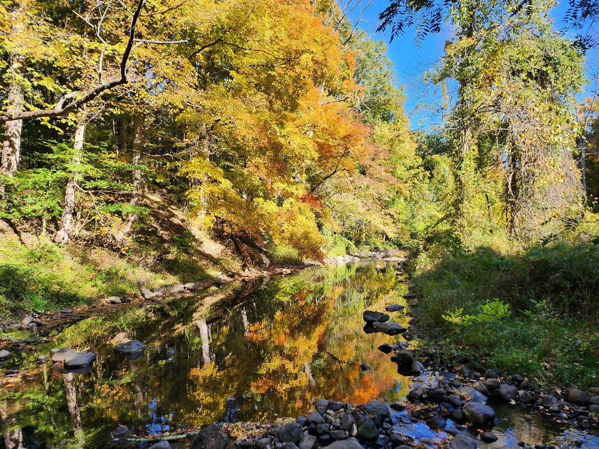
The weather has really been warming up, and I have traditionally done this same hike around this time of year the past several years. Its a short and quick hike with a good climb and a good view. And its really close to home. So overall its a great hike when I am short on time. I started on the parking lot on Diltzes Rd, and took the TMI trail along the Gas Line. After the trail veers away from the powerline and into the mountain, it meets the unmarked Limekiln Mountain Trail as soon as you enter the woods. Made a right turn onto the Limekiln Mountain Trail and climbed the trail until the summit viewpoint. Then went down the mountain the same way about halfway down, and then veered right off the trail, bushwacking to the stream and the TMI trail (I did this so I can take a slightly different route back). Once I hit the power lines back took that instead of the gas line back to the parking area. (The gas line and power line run parallel to each other about 75 feet apart, with dense brush in between.)


Map of the Route

View at summit view with famous Rock.
Facing southeast - Camp Ramaquois Lake.

View from summit facing south.
Route 202 Swamp and Power lines.

View from summit view facing east
towards Haverstraw, the Hudson River,
and Hi-Tor mountain to the right.

View from Summit view facing east.
Bottom part of Cheescoate Mountain
is in close range.
Further range is the Palisades.

Power Lines and Gas Line near trailhead