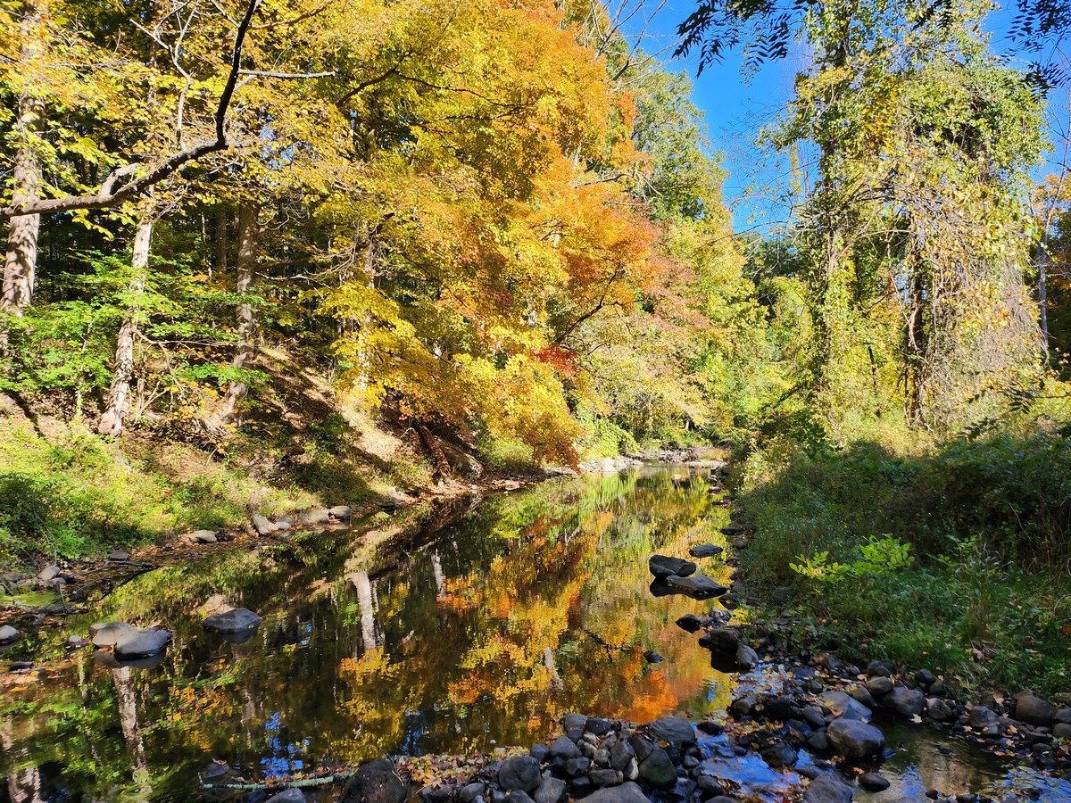
Kakiat County Park and Harriman State Park
Rockland Co.,
New York
Total Time: 1:30 hours
Estimated Distance: 2.7 miles
Level of Difficulty: Difficult snow and ice conditions
Level of Recommendation: Highly Recommended
Points of Interest: Cobus Mountain View
Pros: Good climb and excellent view
Cons: None
Hiking Trails:
Old Mill Trail: Blue blaze
Kakiat Trail: White blaze
Google Map of Parking:
View 2014 Hiking Locations in a larger map
I had a mineral trade show to attend, so had to do a short and sweet hike. The conditions were still fairly icy and snowy, but luckily I had my new Italian crampons which really did make my hike up the mountain much easier. I parked in the Kakiat parking area, crossed the bridge above the Mahwah River, and then took the Old Mill Trail around to the Kakiat Trail. I took the Kakiat Trail up past the gas lines, and then right before the trail curves south, I bushwacked up to the rocky part of Cobus Mountain to the view. This bushwack part is very steep and difficult to traverse until you get to the rocky part
Cobus Mountain has an excellent view, and since its off any trail its not very well-known. There is a larger summit of Cobus Mountain further west, but this is the one with the view. I then turned around and headed southeast down towards the gas line trail, which I then took to the Kakiat Trail. I followed the Kakiat Trail back to the park area and towards my car.
Now about those Italian crampons: I had received these to try out as an endorsement, but received them at the end of the winter. I was excited to try them out, and as it turned out, this was the last possible week I was able to use them since the snow had mostly melted the following week. The crampons are tied on to the bottom of your shoe or boot with a string clamp, and they have metal spikes that dig into the snow and ice in order to maximize traction.
The crampons were hard to get on at first and kept on falling off (they didn't come with any instructions so I had to figure this out). However, once I get them on tight and snug by looping the string around all sides, they stayed on the whole time except for one time. They definitley helped me get up the mountain, and I don't know how I would have done to the steep bushwack part without them. They definitley felt awkward on the rocky parts of the hike that didn't have snow cover, since the foothold is elevated, so their ideal usage is when the ground is fully covered. They would also be great for hiking over frozen lakes where the snow has already compacted.
I definitely recommend these for winter hikes, and you can pick one up for a very affordable price on the following website:
http://www.keepshooting.com/italian-alpine-crampons.html
 |
| Map of the Route |
 |
| My New Italian Crampons |
 |
| Mahwah River on the Old Mill Trail |
 |
| Old Mill on the Old Mill Trail |
 |
| Old Mill Trail Near its Terminus |
 |
| Ascending Cobus Mountain |
 |
| Looking up the the Rocky Viewpoint |
 |
View from Cobus Viewpoint Looking North Across the Valley
to the True Cobus Mountain Summit Past the Power Lines |
 |
| Cobus Mountain View - Facing Southeast |
 |
| View from Cobus Facing Southeast Towards Suffern High School |
 |
| View Facing East |
 |
View Facing South.
Kakiat Mountain is Across the Valley |
 |
Same View at a Different Zoom Perspective.
Sheraton Crossroads is in the Distance |
 |
View Facing Southwest While Descending Cobus.
Facing Towards the Power Lines Above Kakiat |