Showing posts with label Hewitt-Butler Trail. Show all posts

Sunday, May 31, 2026

Wyanokie High Point Spring Hike

Norvin Green State Forest
Passaic Co, NY

Hiking Trails:
Otter Hole Trail: Green blaze
Macopin Trail: (Formerly) White blaze
Hewitt-Butler Trail: Blue blaze

Total Time: 2:00 Hours
Estimated Distance: 3.4 Miles

Pros: Excellent views and good climb
Cons: Confusing Trail rerouting
Hike Type: Lollipop Loop
Level of Difficulty: Difficult

Google Maps of Parking:
https://maps.app.goo.gl/HLpFnVoYFZBdf4sd6

Wyanokie High Point is one of my favorite hikes in the area. It features a good climb with a great 360 degree view. However, there was a lot of trail rerouting going on which left me confused. I parked at the Weis Center, and noticed the Otter Hole Trail was rerouted out of the Weis Center area to the road. I continued on the Otter Hole Trail, to the Macopin Trail. This trail used to have a white blaze but it was missing the blazes perhaps for a future new color to route it as a loop trail.

I continued to the end of the trail at the ridge on Wyanokie High Point, and then took the Hewitt-Butler Trail up and then climbed the rocky portion to the summit of Wyanokie High Point, which offered a sweeping view on this beautiful day. I then turned around and took the Hewitt-Butler Trail down the mountain to the Otter Hole Trail which I took back to my car.

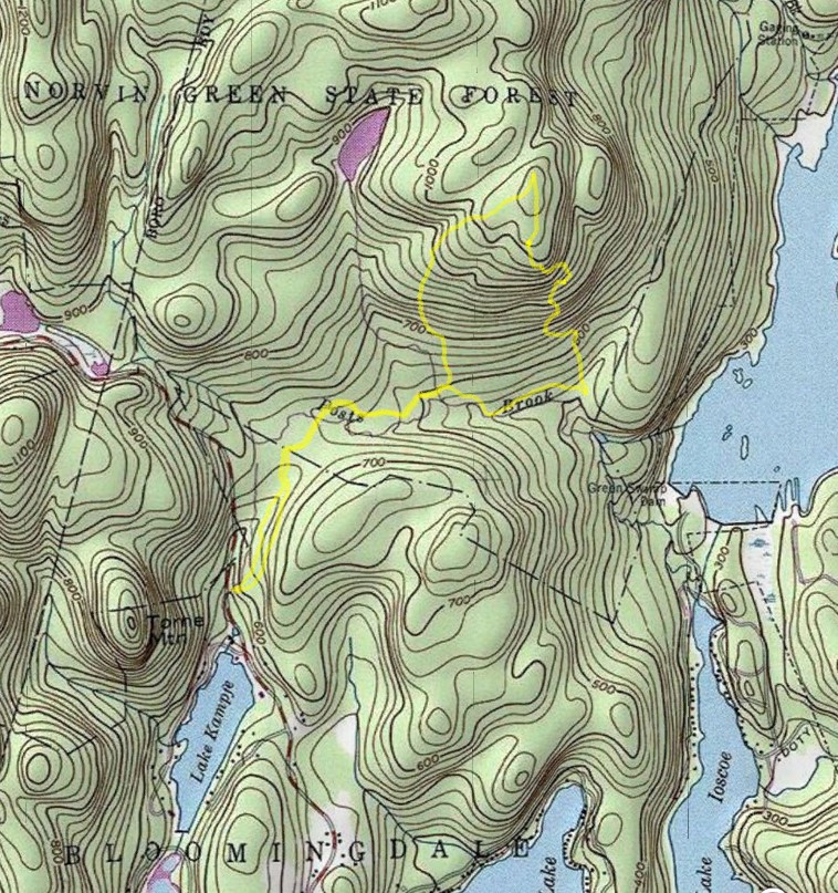
Map of the Route

Trail Information

Macopin Trail Marker Blocked Out

Flowering Mountain Laurels

End of the Macopin Trail

Glacial Rock on the Wyanokie Ridge


View on the Wyanokie Ridge


Ascending to the Top of Wyanokie High Point


Wyanokie High Point View

Wanaque Reservoir and Manhattan Skyline in the Distance


View at the West Side of Wyanokie High Point


Bridge Across the View

Hi Point Labelled Rock

Map of the Ongoing Reroute


Sunday, May 29, 2022

Carris Hill Norvin Green Forest

Norvin Green State Forest
Passaic Co.,
New Jersey

Hiking Trails:
Wyanokie Crest Trail: Yellow blaze
Hewitt-Butler Trail: Blue blaze
Highlands Trail: Blue blaze
Posts Brook Trail: White blaze
Carris Hill Trail: Blue blaze

Total Time: 2:40 hour
Estimated Distance: 4.1 Miles

Pros: Scenic falls, good climb with excellent views
Cons: None
Hike Type: Lollipop Loop
Level of Difficulty: Difficult

Google Maps of Parking:
https://goo.gl/maps/ZPQG1i8xYRxauUvP9

Hiking Partner:
Shimmy Rosenberg

Carris Hill is a great climb with an exceptional view on top. I had been in the area a couple of months prior, and wanted to explore this area and make it to the top of Carris Hill this time.

We parked at the Wyanokie Crest Trailhead on Glenwild Road. At the Post Brook crossing it was once again difficult to cross because of all the water. We took it to the combined Hewitt-Butler Trail/ Highlands Trail which we took to Chikahoki falls, getting a side view of the falls.

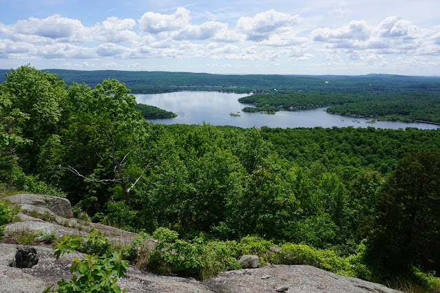
At the intersection, we took the Carris Hill Trail up the steep climb. There are some rocky scrambles here and great views, including an expansive view overlooking the Wanaque Reservoir. At the top, we took the Highlands Trail down the mountain, to the Hewitt-Butler Trail to the Wyanokie Crest Trail back to the trailhead parking.
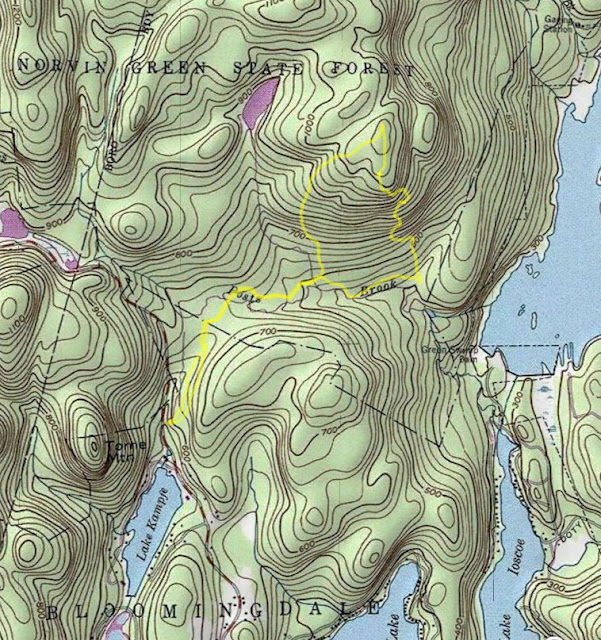
Map of the Route

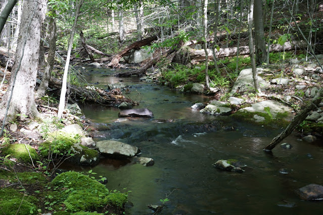
Posts Brook


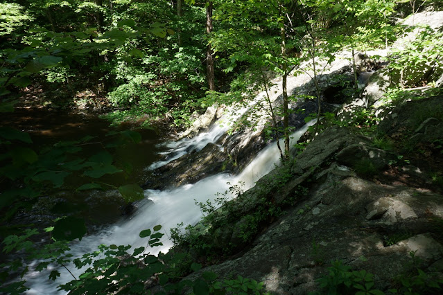
Chikahoki Falls


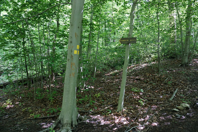
Start of the Carris Hill Trail

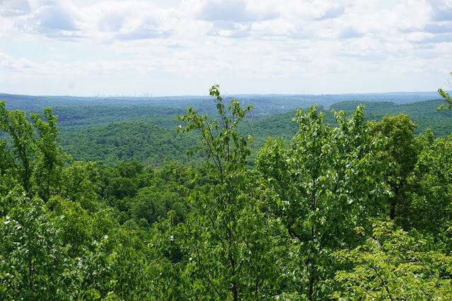
Carris Hill View


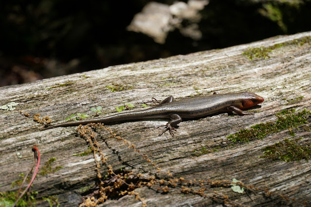
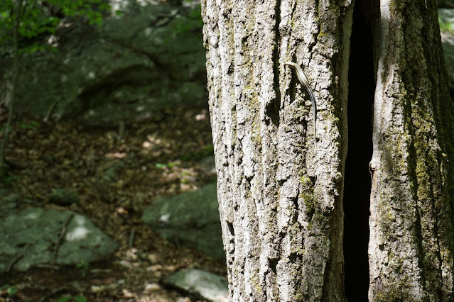
Female Five Lined Skink Posing For Me

Wanaque Reservoir from Carris Hill


Northern Water Snake


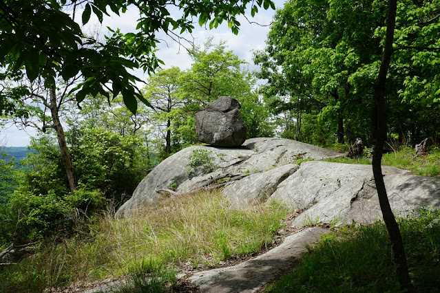
Glacial Erratic on Carris Hill


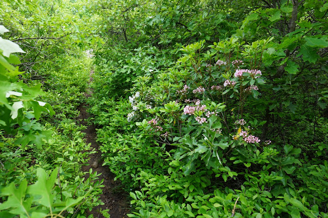
Blooming Mountain Laurels


A Male Five-Lined Skink in a Different Area