Minnewaska State Park
Ulster Co., New York
Hiking Trails:
Peters Kill Carriageway: Red blaze
Awosting Falls Connector Trail
Red Loop: Red blaze
Total Time: 1:45 hour
Estimated Distance: 4.0 Miles
Pros: Excellent waterfalls and scenic area
Cons: Busy area
Hike Type: Lollipop Loop
Level of Difficulty: Very difficult
Google Maps of Parking:
https://goo.gl/maps/yjRQX7anaWr4U2bCA
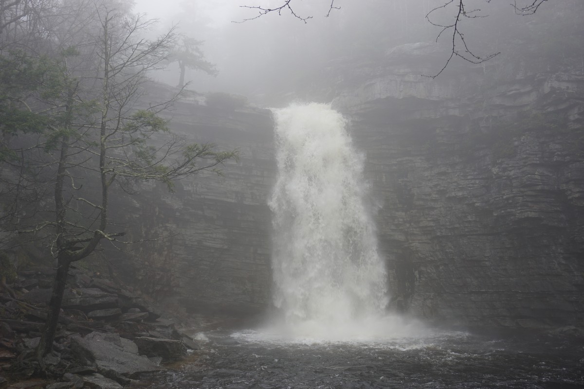
The weather has been extremely rainy, with several inches over Saturday and more predicted during the day. I decided to go to Minnewaska to the waterfalls which I figured would be impressive. Indeed they were! I figured due to the weather it would be quiet, but there was a public race here and there were many people present on the Peters Kill Carriageway.
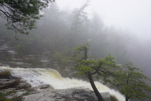
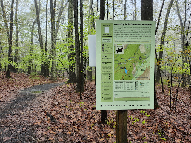
I parked at the lower parking area at main entrance to Minnewaska, and took the Peters Kill Carriageway to Awosting Falls. I took pictures at the top above the falls, and then below at the bottom with the falls roaring in front of me. I then continued along the Peters Kill Carriageway to the Awosting Falls Connector Trail. I crossed Route 44/55 at the terminus of the trail, at the Peters Kill area of the park.
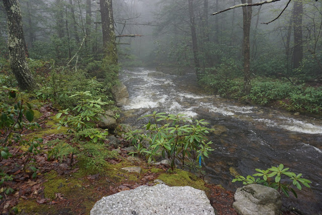
I then took the Red Loop down to the Peters Kill. Once I reached the Peters Kill, I got off the trail and went upstream. There used to be a trail here alongside the water, which I followed up to the waterfalls. This route is not on the trail and is quite wild, and is not known by many people. It's definitely better this way as this area is a secret and quiet hidden gem of Minnewaska State Park.
Near the footer of the falls is an old hydroelectric power station, which powered the old Mountain House Hotel in Minnewaska from power from the falls. There are actually two waterfalls here: On the left is the Peters Kill Falls, which is a small falls along the rockface, and the much larger Sheldon Falls to the right. I believe that the waterfall used to flow over the Peters Kill Fall, and then a dam was built above that diverted the bulk of the water to Sheldon Falls.
Sheldon Falls was very impressive. It was just a sheer wall of rushing water and was amazingly impressive. In the past I've taken the route up on the dry part of the Peters Kill Falls, but now with all the rain and slippery rock I opted for an overgrown deer path up to Route 44/55. This proved very difficult in the current wet conditions with slippery rock and wetness everywhere. I still got soaked even though I was dressed and prepared. I then crossed over Route 44/55 and took the Peters Kill Carriageway back to my car, passing along many runner in the rain along the way.
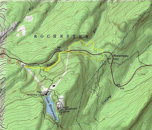 |
| Map of the Route |
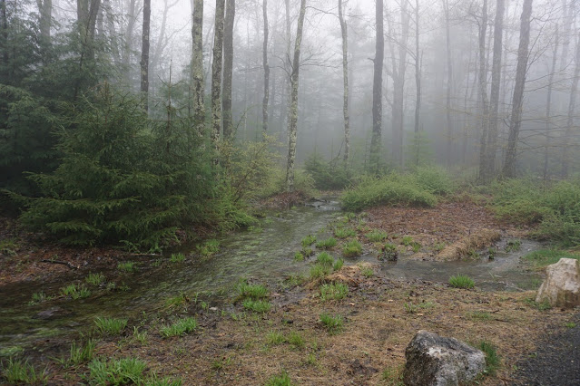 |
| Rain, Fog, and Overflowing Water |
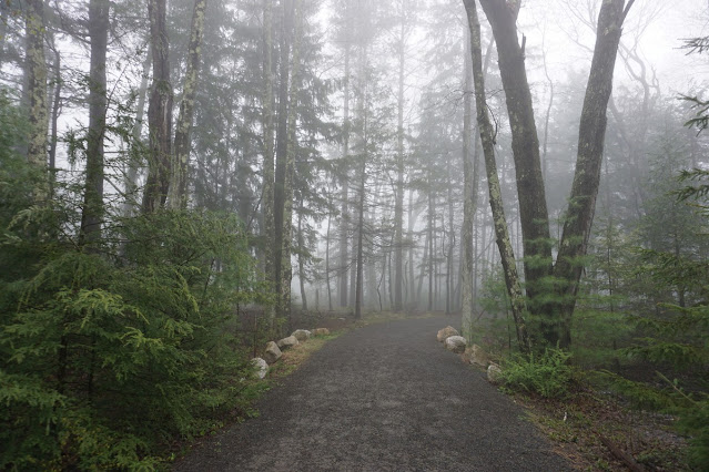 |
| Peters Kill Carriageway |
 |
| Peters Kill |
 |
| Top of the Waterfalls |
 |
| Awosting Falls After Heavy Rains |
 |
| Small Short Falls on the Awosting Carriageway |
 |
| Peters Kill Carriageway Scenery |
 |
| Awosting Falls Connector Trail |
 |
| Seasonal Swamp near the Peters Kill Area |
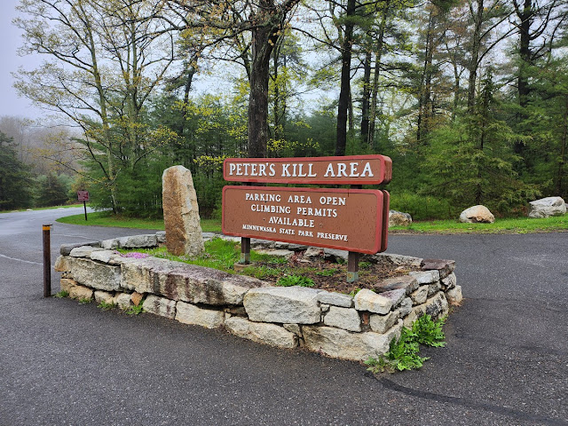 |
| Peters Kill Area Parking Area |
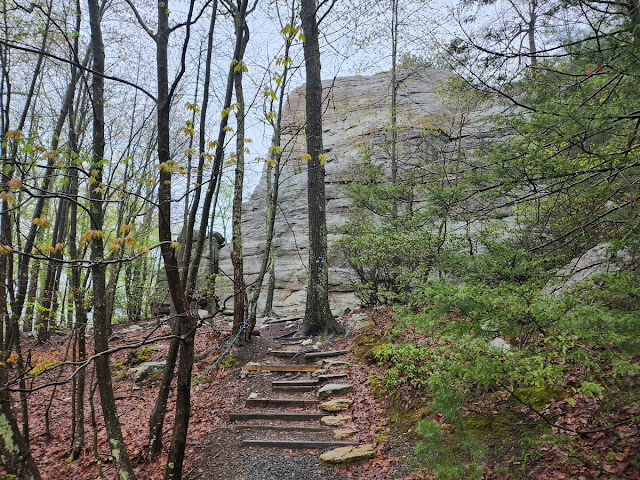 |
| Large Rock at the Red Loop Trail |
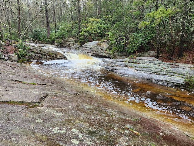 |
| Back at the Peters Kill, at the Red Trail |
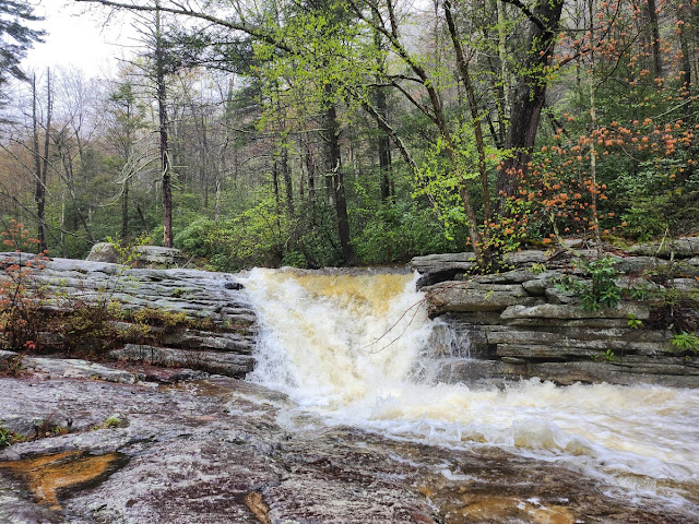 |
| Small Falls on the Peters Kill at the Bushwhack |
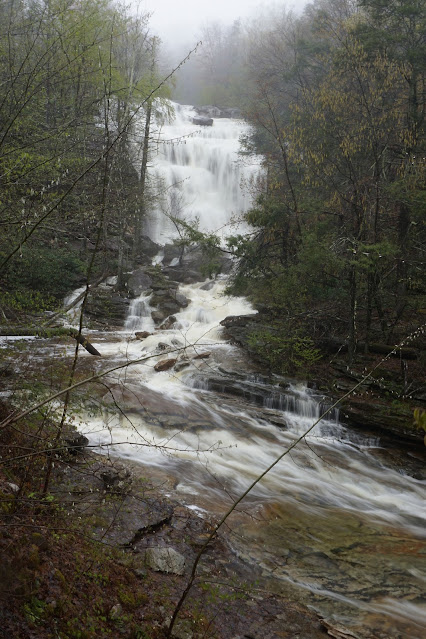 |
| The Roaring Sheldon Falls |
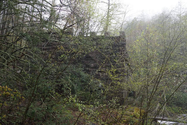 |
| Old Hydroelectric Pumping Station Near Sheldon Falls |
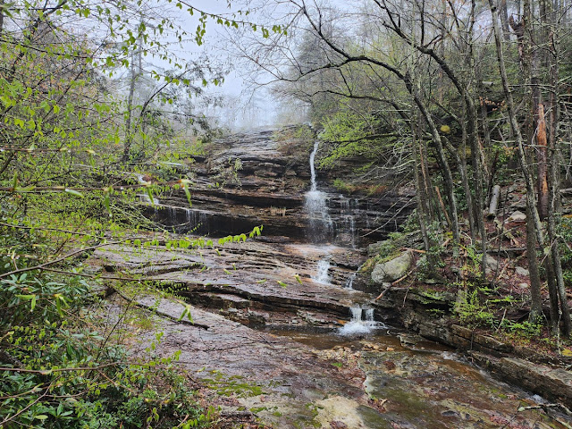 |
| Peters Kill Falls |
 |
| Large Group of People at the End of the Race |