Bear Mountain State Park /
Harriman State Park
Rockland Co.,
New York
Hiking Trails:
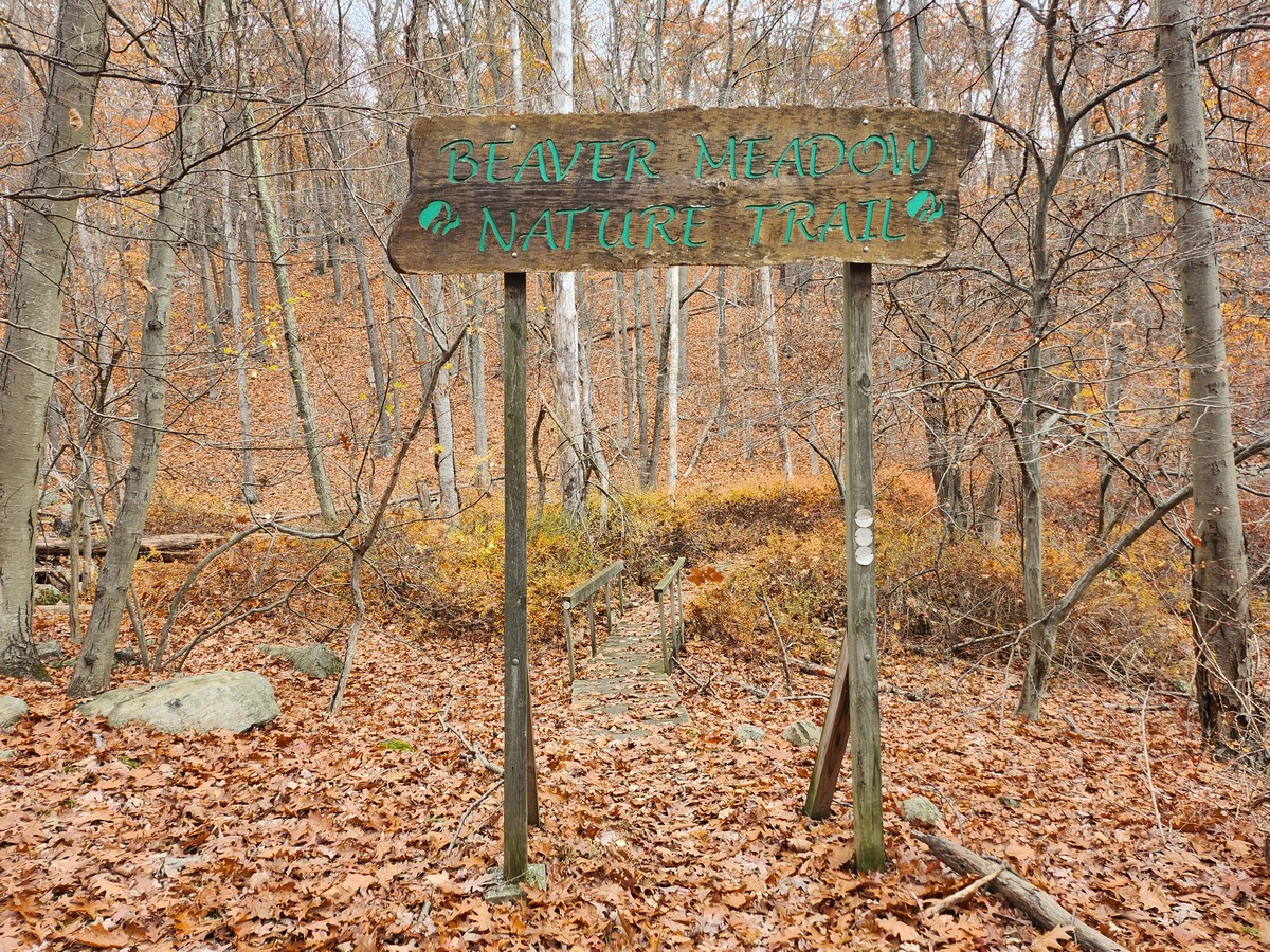
Beaver Meadow Nature Trail: White blaze
Timp Connector Trail: Beige blaze
Red Timp Trail: Red blaze
Timp Torne Trail: Blue blaze
Ramapo-Dunderberg Trail: Red blaze
1777 Trail: Red blaze
Blue Dot Trail: Blue blaze
Total Time: 2:35 hour
Estimated Distance: 4.4 Miles
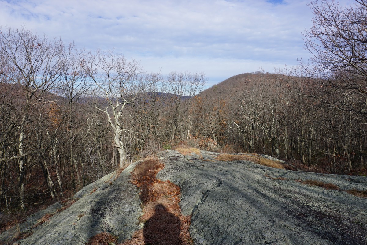
Pros: Quiet area, good climb, great views
Cons: Trails and markings somewhat confusing
Hike Type: Loop
Level of Difficulty: Difficult
Google Maps of Parking:
https://goo.gl/maps/GAE1ZnZ5QWMxZJUy9
I had discovered a new and shorter way to get to the Timp, a prominent mountain next to West Mountain with exceptional views. The traditional hiking trails to the summit are long to get there and not easy to get to. However, this new approach is a much shorter route, but it's not on the trail maps. The last time I too the route, my hike was to the West Mountain Shelter, not to the Timp summit. This time, I went to the Timp Summit and along the ridge. The weather was great for this time of year, with blue skies and weather in the upper 40's.
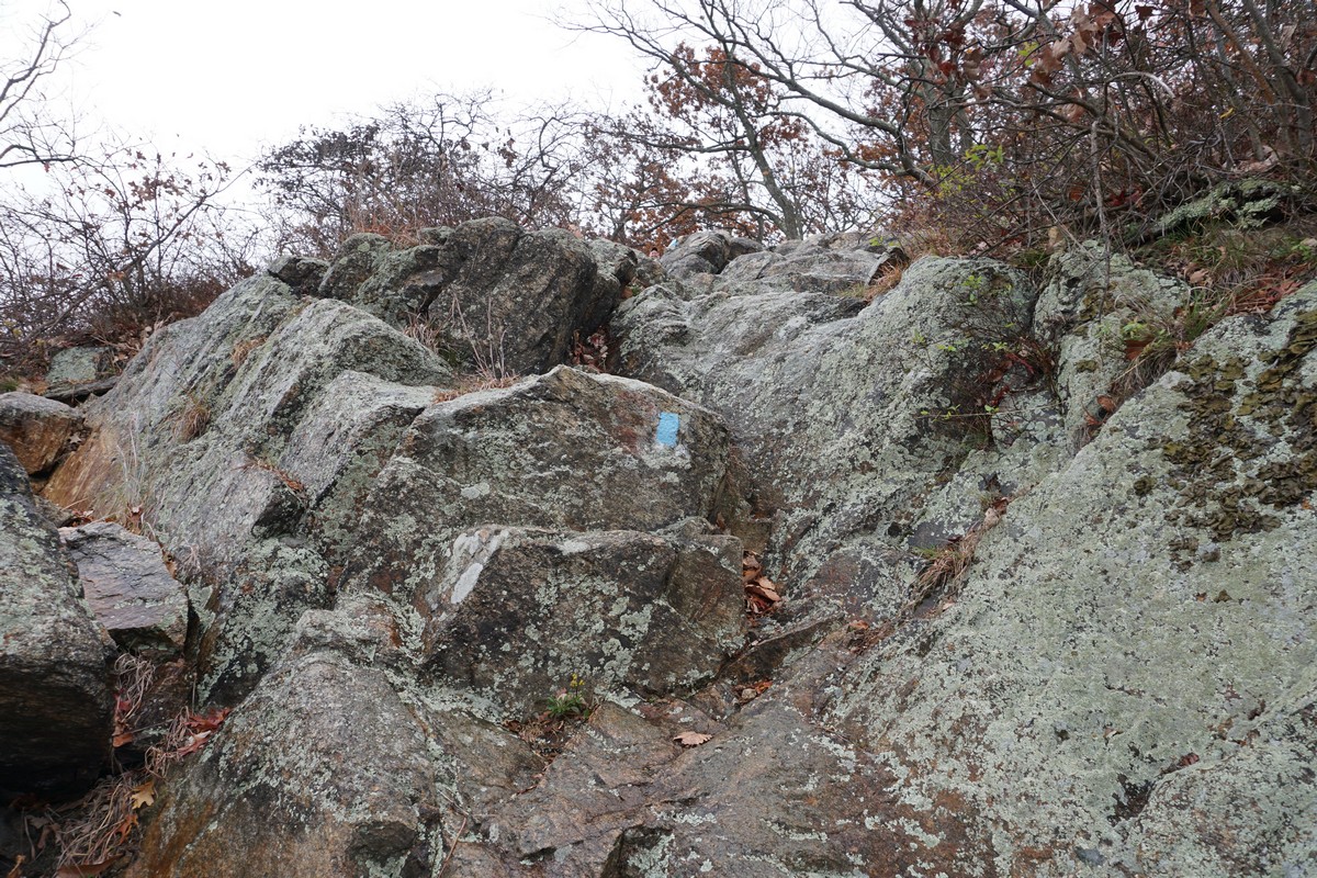
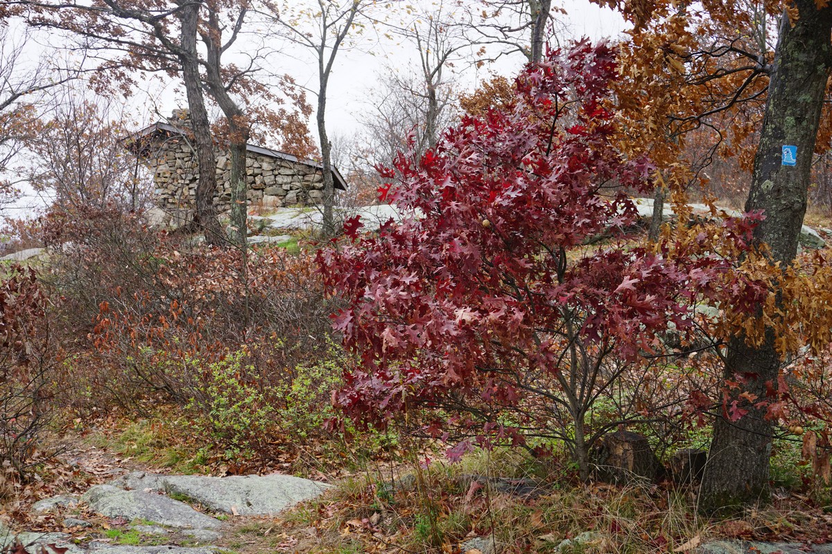
I parked on Mott Farm Road, and took the Beaver Meadow Nature Trail to the Timp Connector Trail, to the Red Timp Trail which I took up the mountain to the Timp Torne Trail intersection. I then took the Timp Torne Trail east along the ridge to the 1777 Trail north to the Ramapo-Dunderberg Trail to the west to the view. I then turned around and then took the Ramapo-Dunderberg Trail back up along the ridge, and then hit the first south-facing view. I then went to the main summit, which was really windy and I couldn't stay there very long. I captured some good photos at the summit, and then headed down to the north-facing view with the Bear Mountain bridge and Hudson River Valley.
I descended the mountain to the Timp Pass in the deep valley, and then took the old Blue Dot Trail to the Red Timp Trail, which I then took along the ridge over the swamp. Realizing it was taking me further east rather than south, I bushwhacked down towards the swamp to the Beaver Meadow Nature Trail, which I took back to the end of the trail and then back to my car.
 |
| Map of the Route |
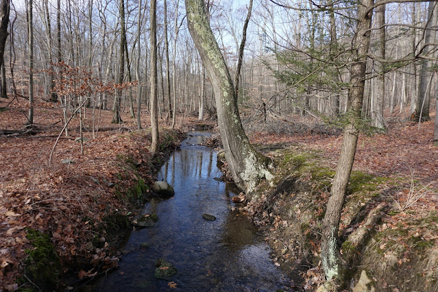 |
| Brook at the Beginning of the Hike |
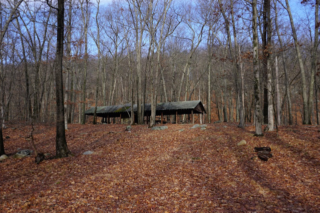 |
| Abandoned Picnic Area |
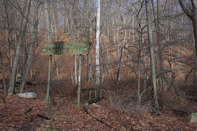 |
| Beaver Meadow Nature Trail Sign |
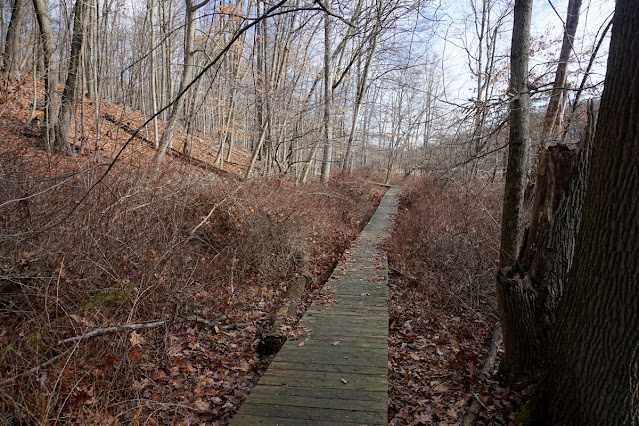 |
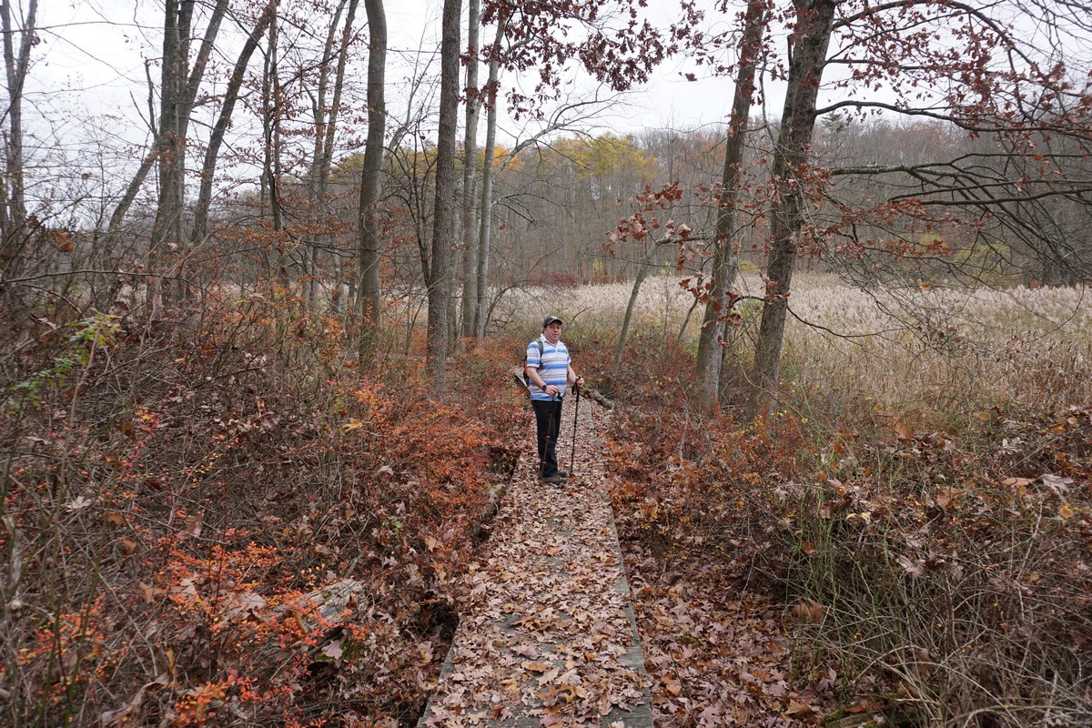
| Beaver Meadow Nature Trail Boardwalk |
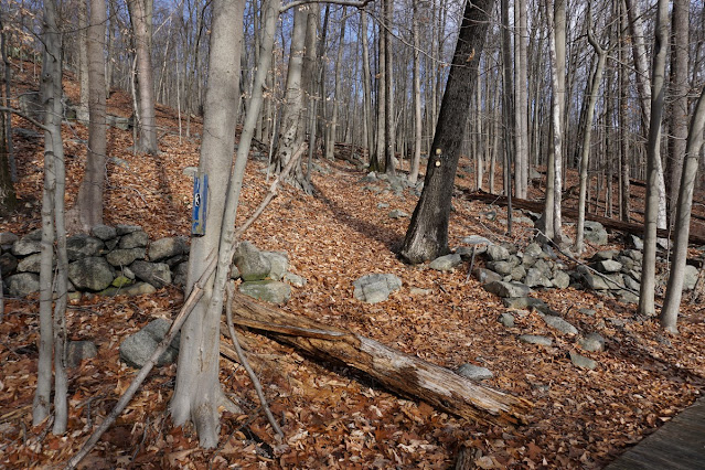 |
| Start of the Timp Connector Trail |
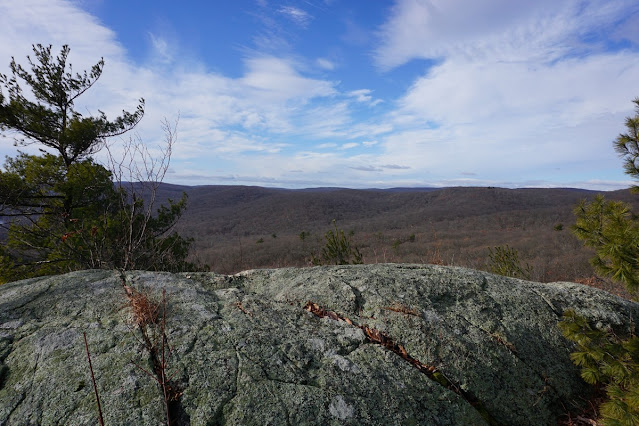 |
| First View on the Timp |
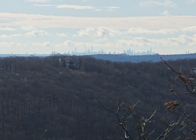 |
| Zoomed into Manhattan, in the Distance |
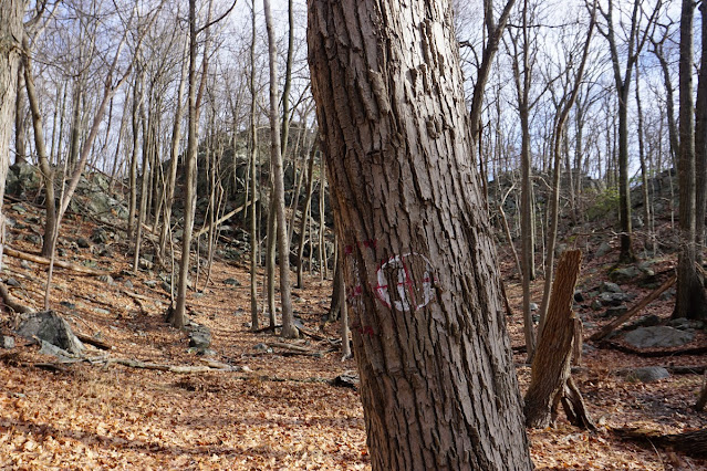 |
| Red Timp Trail Worn Out Trail Marker |
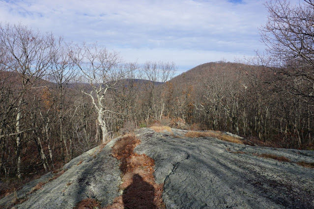 |
| View of Bald Mountain from the Ramapo-Dunderberg Trail |
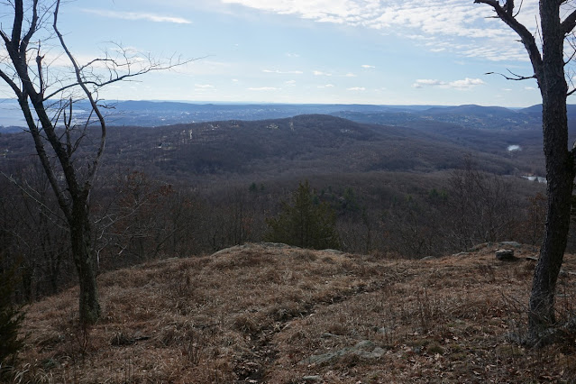 |
| Buckberg Mountain from the Timp View |
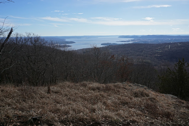 |
| Haverstraw Bay on the Hudson River |
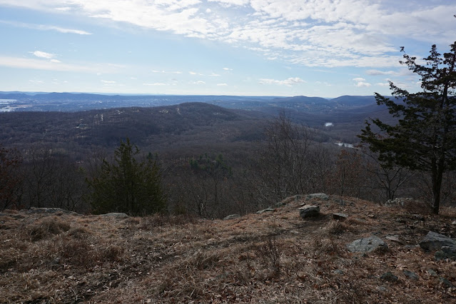 |
| Buckberg Mountain in the Distance |
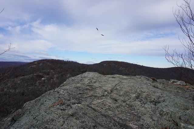 |
| Timp Summit, Facing West Mountain |
 |
| Timp Summit, Facing South |
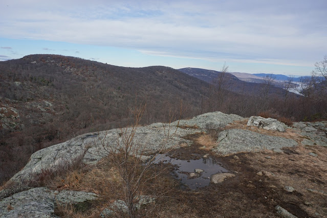 |
Timp Summit, Facing Northwest
|
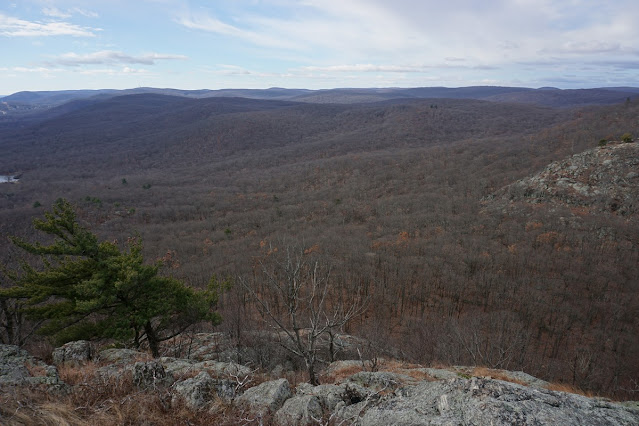 |
| Timp Summit, Facing Southwest |
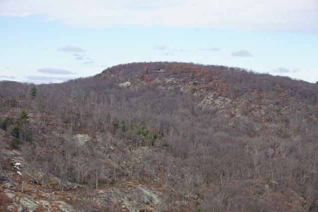 |
| West Mountain Shelter in the Distance |
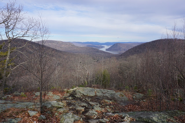 |
| Timp Summit, Northern View of Hudson River and Bear Mnt Bridge |
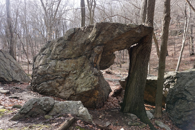 |
| Arching Rock |
 |
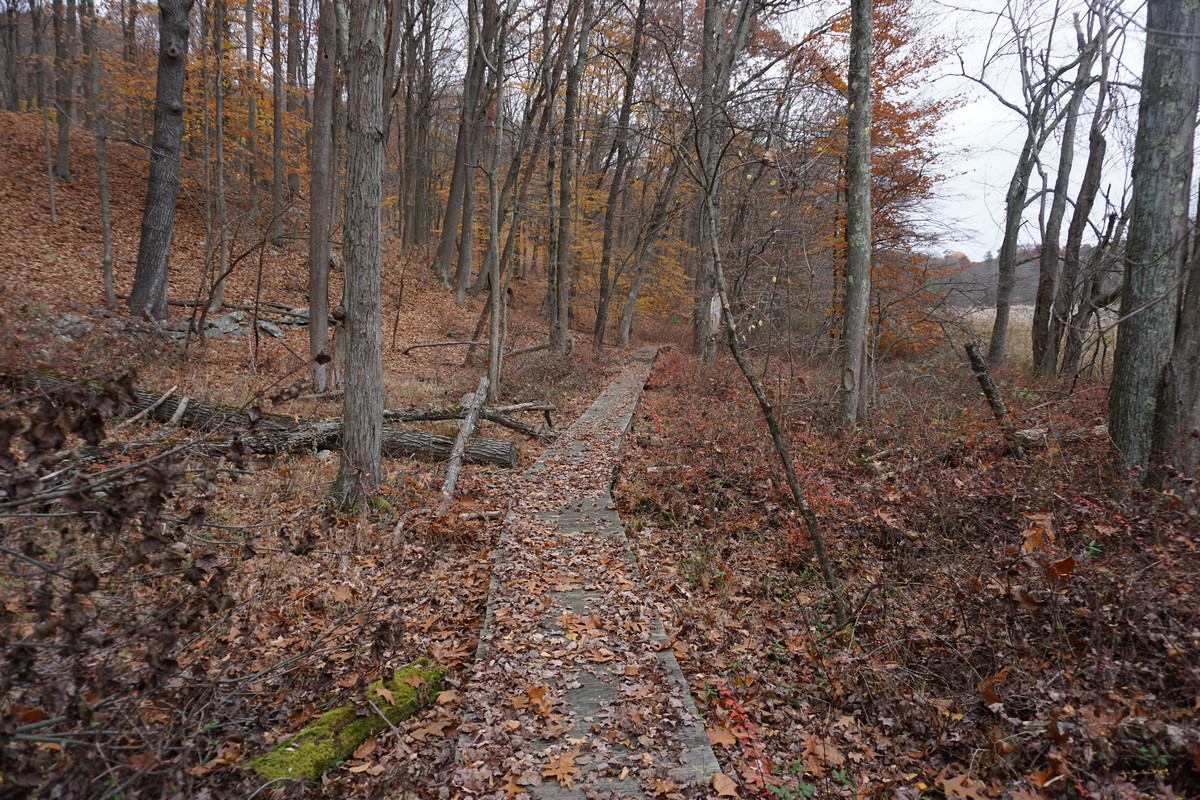
| Back to the Boardwalk |